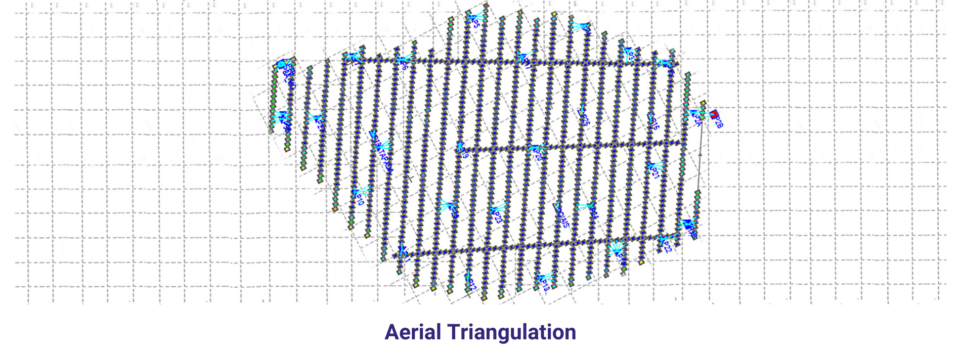
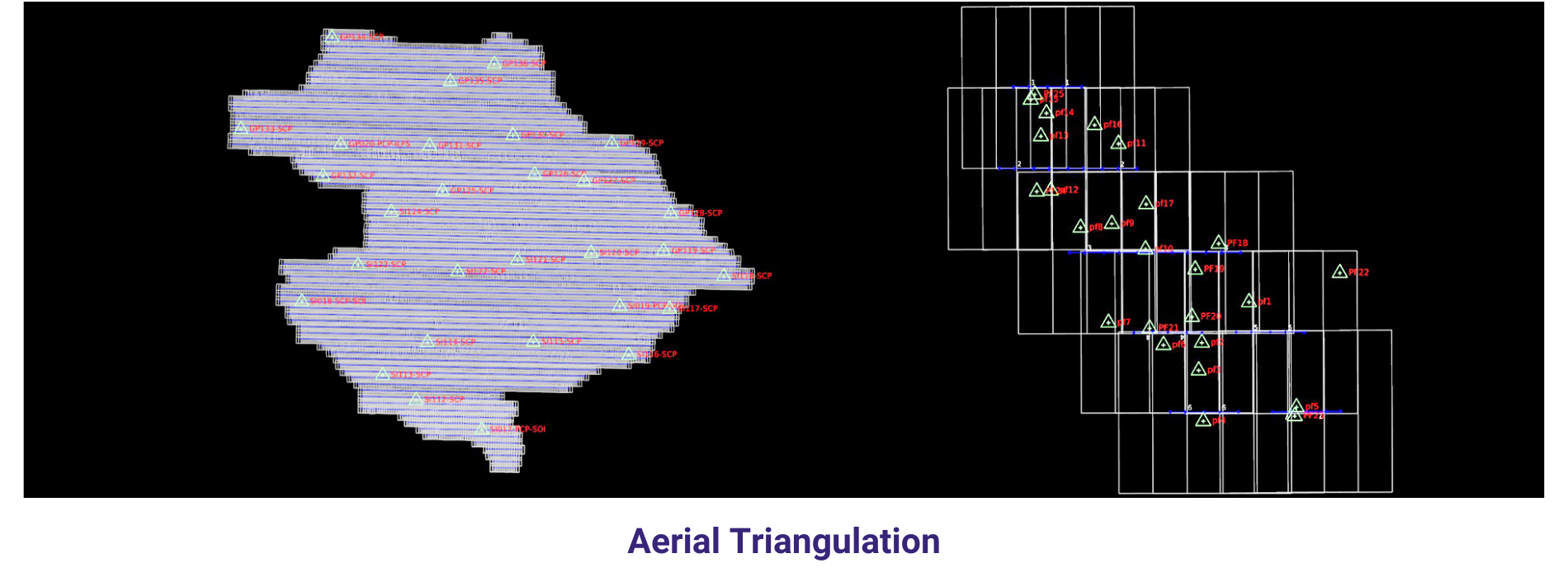
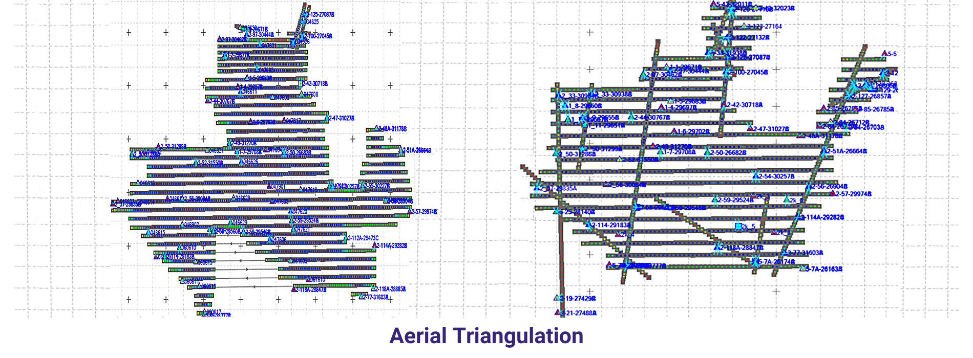
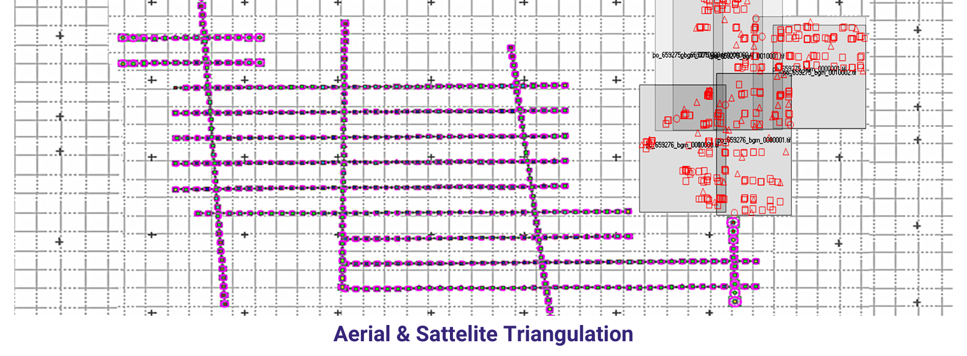
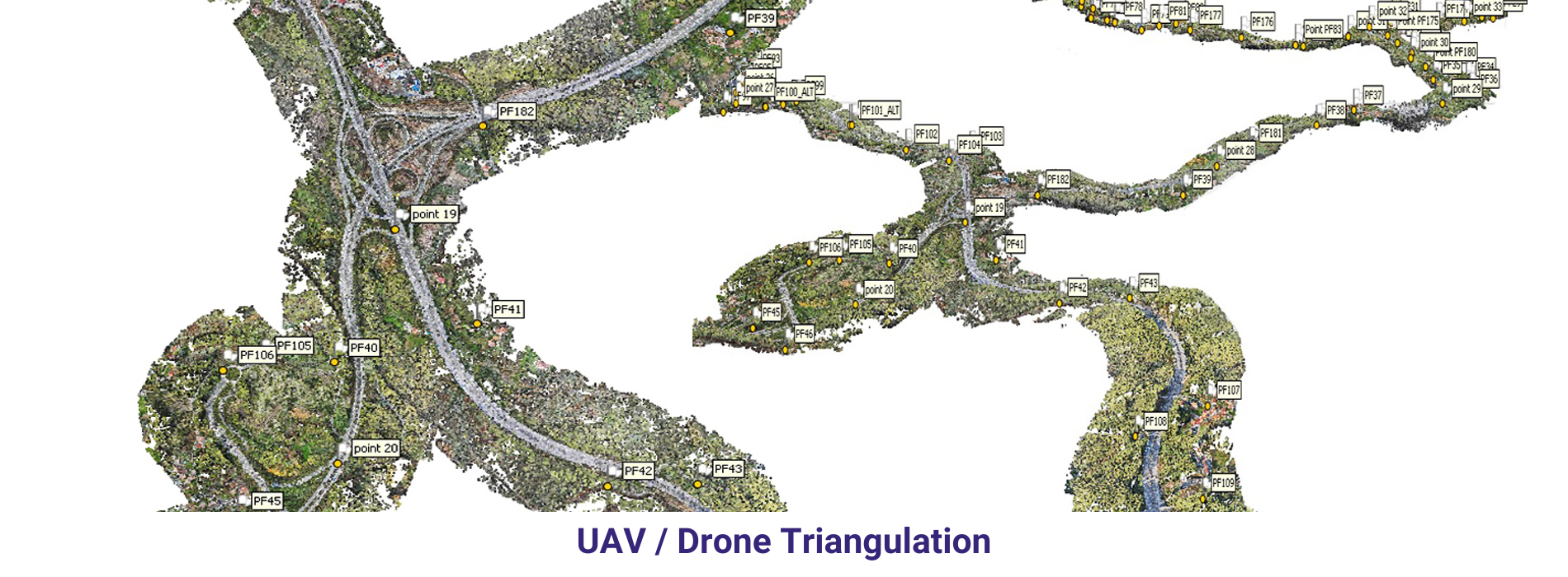
AAMGST is capable of doing Aerial Triangulation of both Aerial and Satellite imageries by using Automatic tie point extraction and manual measurement of
Ground Control Points and additional tie points to produce accurate and reliable AT results.
The AT results are presented in a standard document report file as per the client’s requirement to show the reliability of input data and accuracy statistics of the
final results.
Aerial triangulation is a crucial process in Geographic Information Systems (GIS) that involves using overlapping aerial photographs to accurately determine the position of points on the Earth’s surface. This technique is essential for creating accurate maps and models of terrain and infrastructure. Aerial triangulation involves identifying common points on multiple aerial photographs and using geometric principles to calculate the exact three-dimensional coordinates of these points. This process helps ensure that GIS data is precise and reliable for various applications, such as urban planning, environmental monitoring, and disaster management.
One of the main advantages of aerial triangulation in GIS is its ability to produce high-quality and detailed maps. By accurately determining the position of points on the ground, aerial triangulation allows for the creation of highly accurate maps that can be used for a variety of purposes, such as land surveying, transportation planning, and natural resource management. This level of precision is essential for decision-making and analysis in various fields, as accurate spatial data is key to understanding the relationships between different geographical features and phenomena.
Aerial triangulation also plays a crucial role in the creation of digital elevation models (DEMs) and three-dimensional models of the Earth’s surface. By accurately determining the position of points on overlapping aerial photographs, GIS professionals can generate detailed topographic maps that represent the terrain with high precision. These models are essential for various applications, such as flood risk assessment, site suitability analysis, and infrastructure design. Aerial triangulation helps ensure that these models are accurate and reliable, providing valuable insights for planning and decision-making.
Overall, aerial triangulation is a fundamental process in GIS that is essential for producing accurate and reliable spatial data. By accurately determining the position of points on the Earth’s surface, this technique enables the creation of high-quality maps, models, and analyses that support a wide range of applications. As technology continues to advance, aerial triangulation techniques are becoming more sophisticated and efficient, allowing GIS professionals to generate increasingly detailed and accurate spatial data for a variety of purposes.