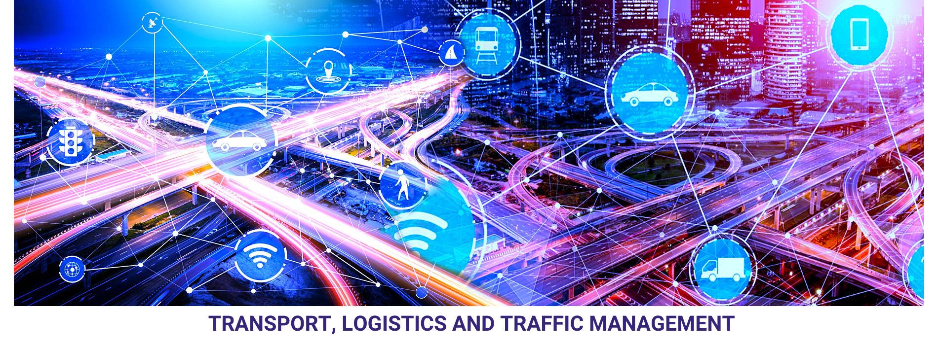
The transport, logistics, and traffic management sectors are increasingly leveraging geospatial technologies to enhance efficiency, safety, and sustainability.
Route Optimization: transport and logistics companies to optimize routes for vehicles, vessels, or aircraft. By considering factors such as traffic patterns, road conditions, weather forecasts, and fuel consumption, route optimization algorithms can minimize travel time, reduce fuel costs, and improve overall operational efficiency.
Fleet Management: Track and monitor fleets of vehicles in real-time. GPS tracking devices installed in vehicles provide location data that can be visualized on digital maps, allowing fleet managers to monitor vehicle movements, optimize dispatching, allocate resources more effectively, and improve driver safety and compliance.
Asset Tracking: Management of various assets, including containers, parcels, cargo, and equipment, throughout the supply chain. By integrating GPS tracking with inventory management systems, companies can improve asset visibility, minimize losses, and streamline logistics operations.
Traffic Management: Monitor and manage traffic flow in urban areas and along transportation corridors. Traffic management systems incorporate real-time information from sensors, cameras, and GPS devices to detect congestion, accidents, and road closures, enabling authorities to implement dynamic traffic control measures, such as signal timing adjustments and variable message signs, to alleviate congestion and improve safety.
Transport Planning and Infrastructure Development: Geographic Information Systems (GIS) are used to analyse spatial data, such as population density, land use, transportation networks, and environmental factors, to inform decision-making processes related to the design, construction, and maintenance of transportation infrastructure, including roads, railways, airports, and ports.