Environmental Monitoring: Geospatial technology is used to monitor environmental conditions and changes over time. Remote sensing techniques, such as satellite imagery and aerial photography, can be used to track changes in land use, vegetation cover, and water resources. This information is essential for understanding the impacts of human activities on the environment and for developing effective conservation strategies.
Natural Resource Management: The management of natural resources, such as forests, fisheries, and water resources, relies heavily on geospatial data. GIS can be used to map the distribution of resources, to model the impacts of different management scenarios, and to monitor the effectiveness of conservation efforts.
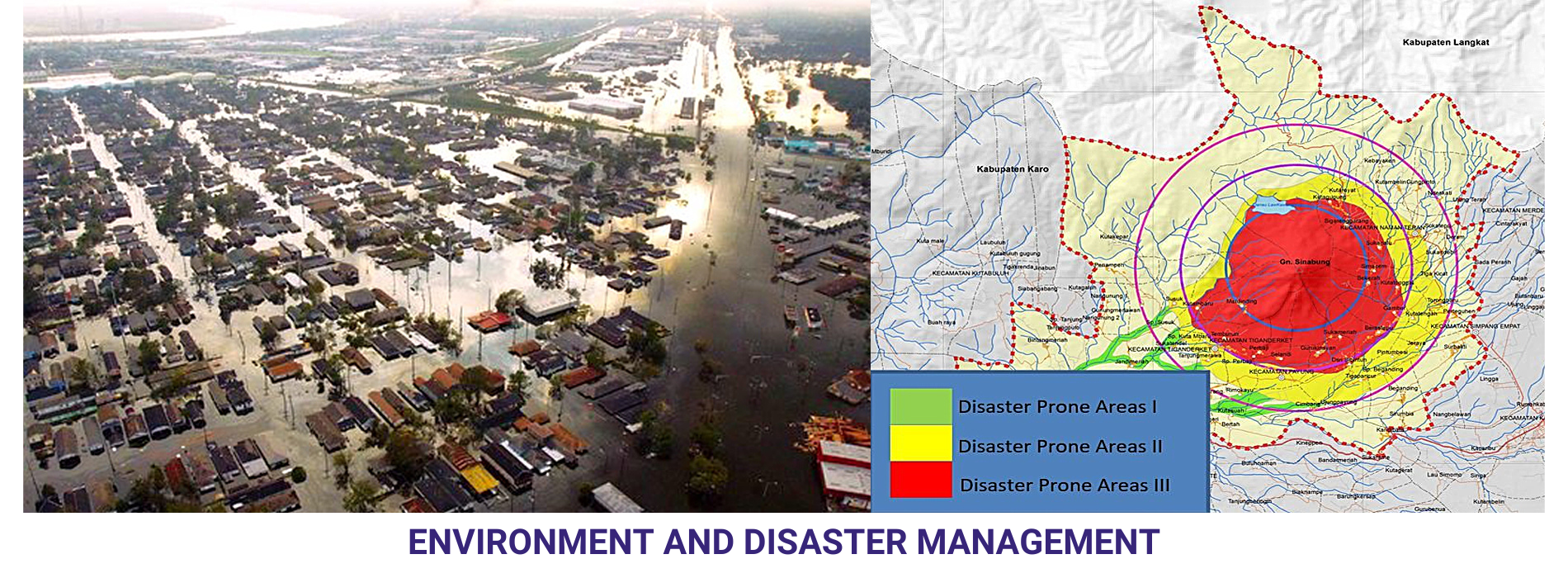
Disaster Risk Assessment: Geospatial technology is essential for assessing the risks posed by natural disasters, such as floods, landslides, and wildfires.
Emergency Response: In the event of a disaster, geospatial technology can be used to quickly assess the situation and to coordinate emergency response efforts.