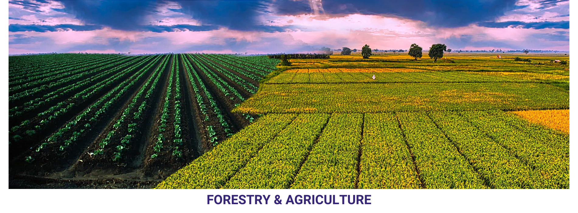
Land Use Planning: The planning of land use for agriculture and forestry requires accurate geospatial data. GIS can be used to map the land, to identify areas suitable for different types of agriculture and forestry, and to plan the layout of farms and forests.
Crop Management: The management of crops, such as rice, wheat, and corn, relies on accurate geospatial data. GIS can be used to map the distribution of crops, to monitor the health of crops, and to plan the application of fertilizers and pesticides.
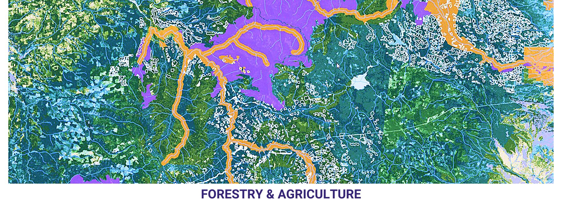
Forest Management: The management of forests, including the planting, harvesting, and protection of trees, relies on geospatial technology. GIS can be used to map the location of trees, to monitor the health of forests, and to plan the harvesting of trees.
Wildlife Management: The management of wildlife habitats, such as forests and grasslands, relies on accurate geospatial data. GIS can be used to map the distribution of wildlife habitats, to monitor the health of habitats, and to plan conservation efforts.