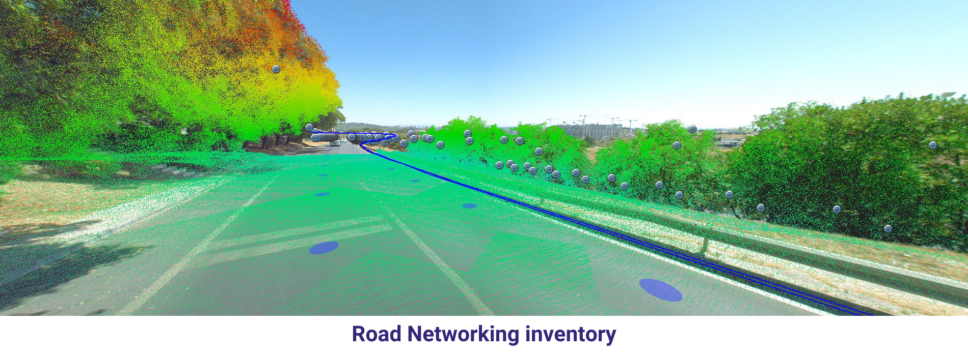
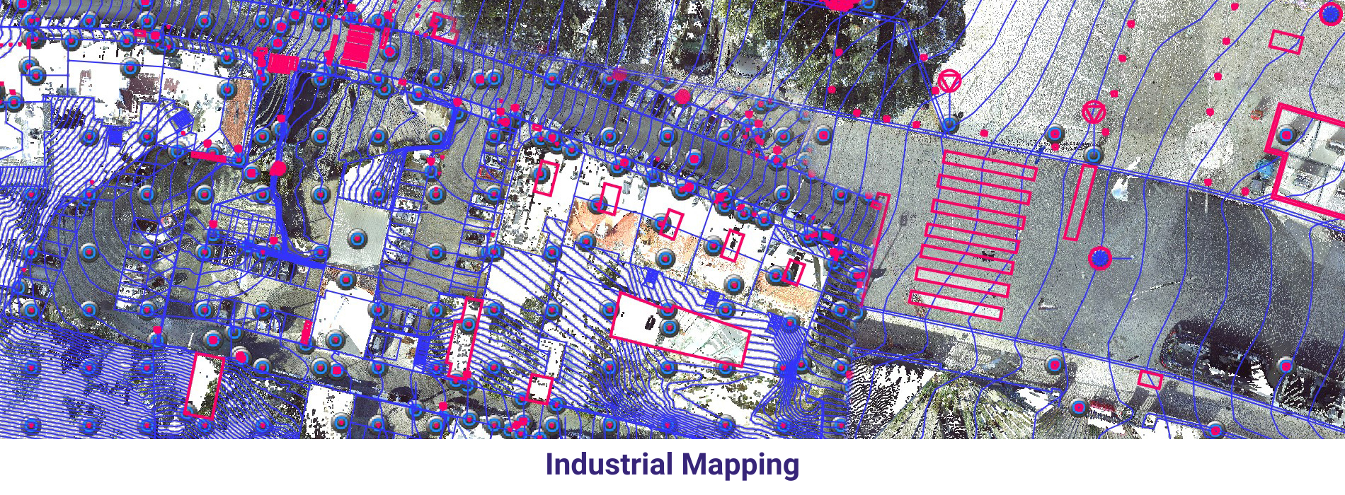
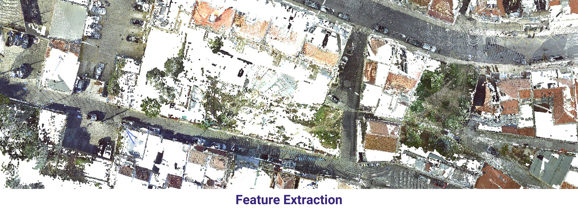
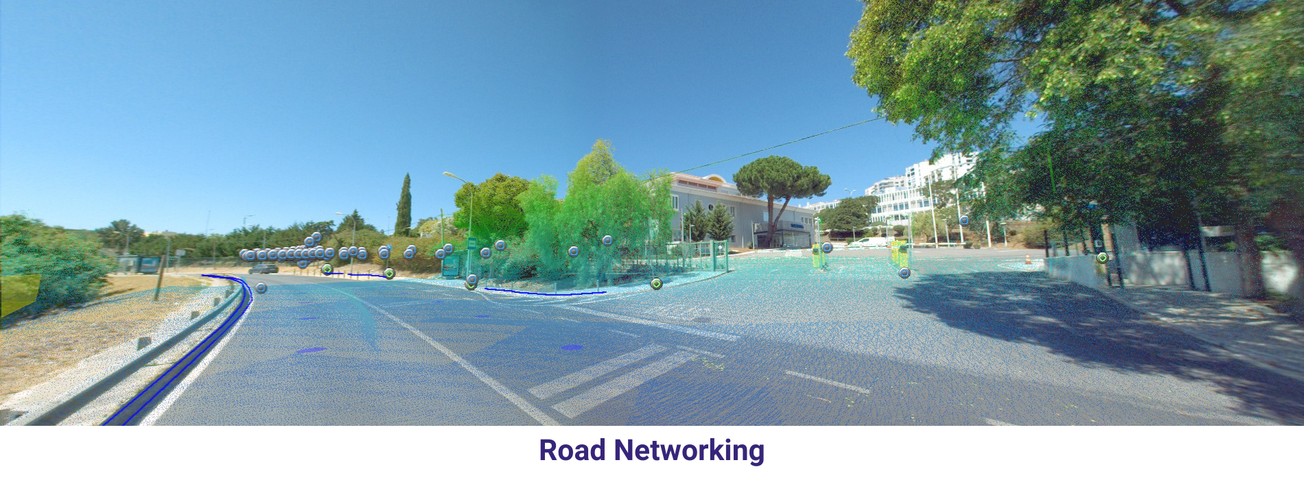
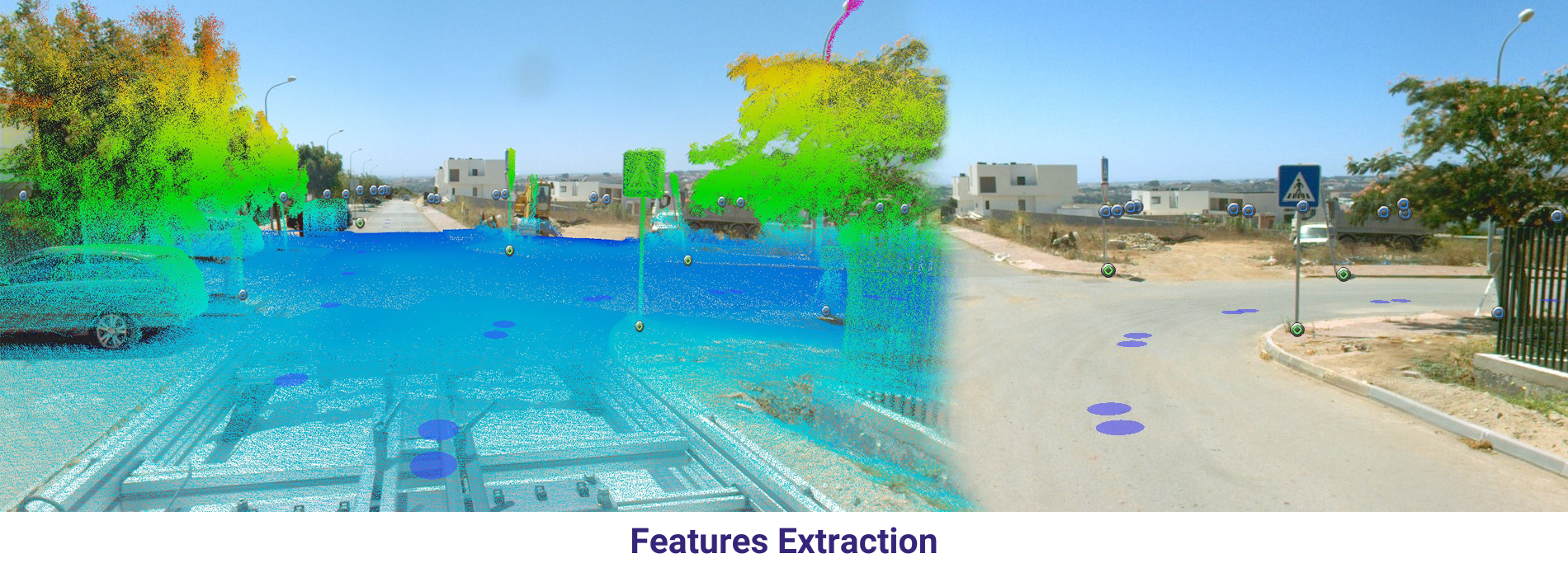
Gathering geospatial data from movable vehicles, such as cars, drones, boats, trains, or airplanes, is known as Mobile mapping. Various sensors could be installed in vehicles:
Point cloud: An optical remote-sensing method that samples the earth’s surface densely using laser light.
Street-level (planar and panoramic) imagery: images captured from the viewpoint of passing cars or pedestrians.
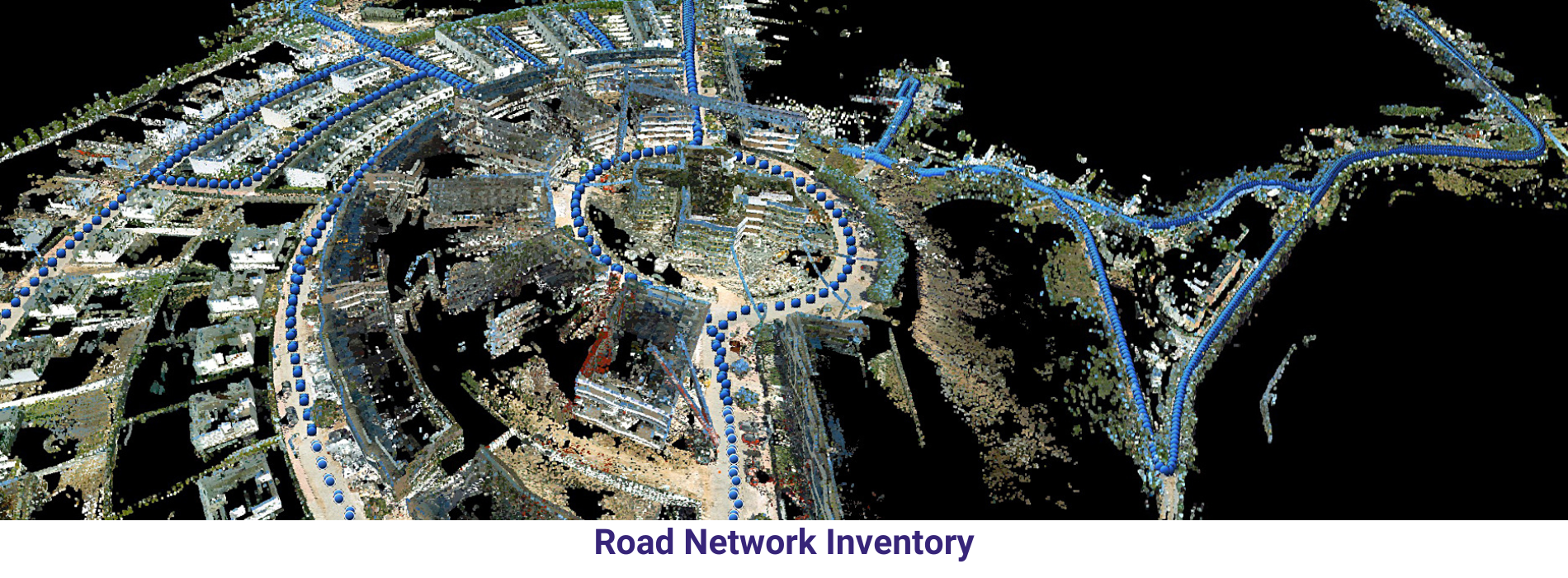
Its applications range over several use-cases:
Road/rail network management
Asset management
Site documentation for oil and gas, mining, energy, historical
Construction Site monitoring
Environmental monitoring
Industrial inspections
Street view data collection
Surveillance and security … and many others
Speed: When it comes to surveying, mobile mapping is far faster than traditional approaches. As per research conducted by the Association for Project Management (APM), this method has the potential to scan data 40 times faster than conventional static scanning instruments like tripods.
Effectiveness: Mobile mapping tools increase the effectiveness of your scans. Using mobile mapping devices lets you work faster and on more projects with your current staff when working on major projects with tight budgets and deadlines. Because of this, it is much more economical.
Flexibility: Including a Mobile Mapping System in your product line allows you to combine various speeds and data quality combinations with clients, giving you greater negotiation leverage when it comes to pricing. Ultimately, the consumer could select the accuracy level that best suits their requirements.