Siting and Planning: The location of energy generation facilities, such as wind farms, solar parks, and hydroelectric dams, is critical to their success. Geospatial technology can be used to identify the best locations based on factors like wind patterns, solar irradiation, and terrain. Additionally, utilities can use geospatial data to plan the most efficient routes for power lines and pipelines.
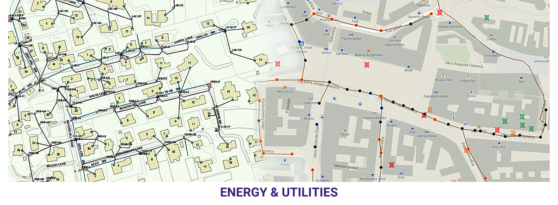
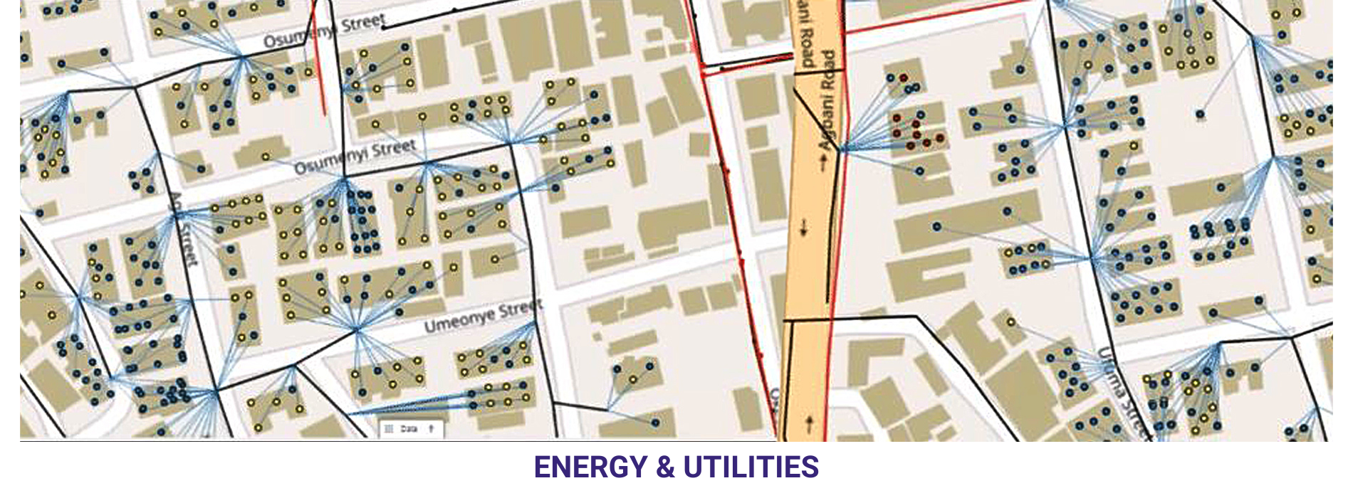
Infrastructure Management: Geospatial technology is essential for managing energy and utility infrastructure. Geographic Information Systems (GIS) can store and analyse data about power lines, pipelines, and other assets, helping to plan maintenance and repairs more effectively. This can reduce downtime and improve safety.