-
- HOME
- ABOUT US
- SOLUTION
- PROJECTS
- INDUSTRIES
- CLIENT NETWORK
- CAREER
- CONTACT WooCommerce not Found
- Newsletter
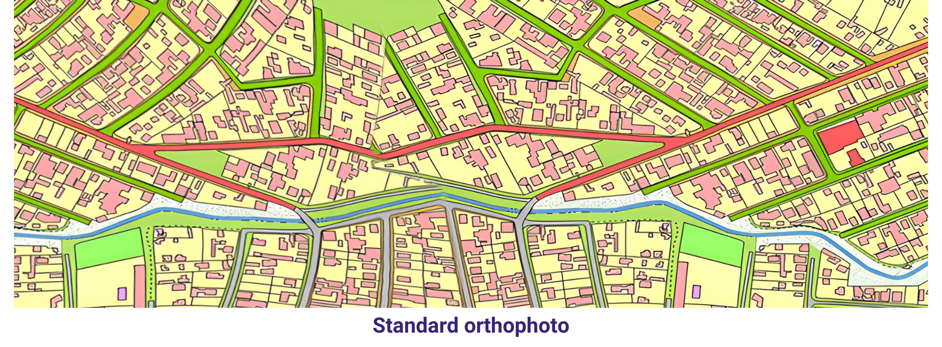
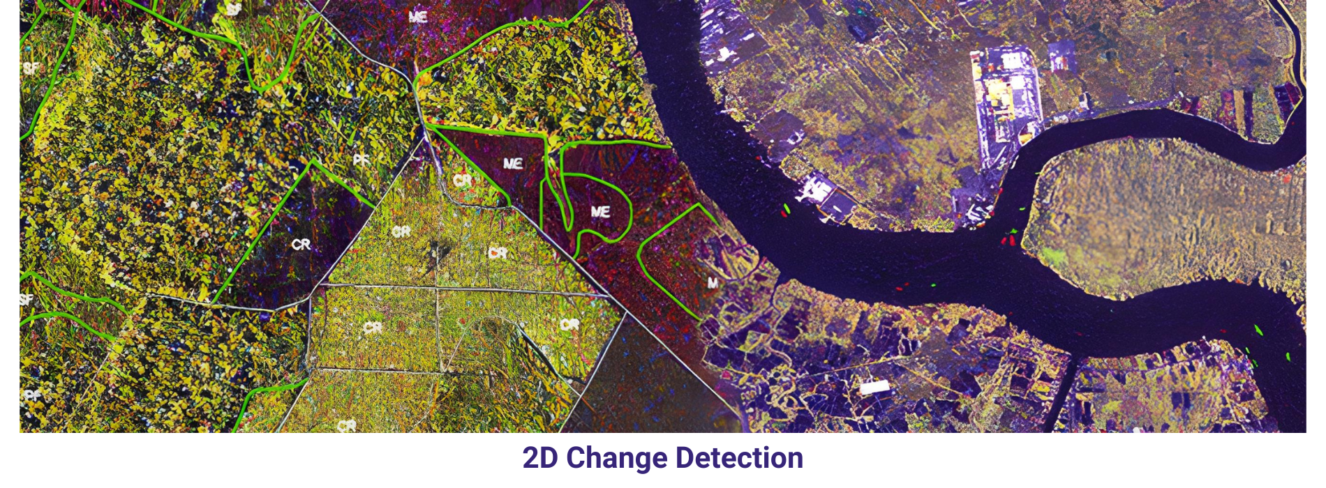
AAMGST has delivered 1.6 million hectors of 2D cartography to Europe, US and Australian clients. Our dedicated team has executed large scale (1: 1000), medium scale and small scale (1:5000, 1:10000,30000)mapping for different geospatial applications.
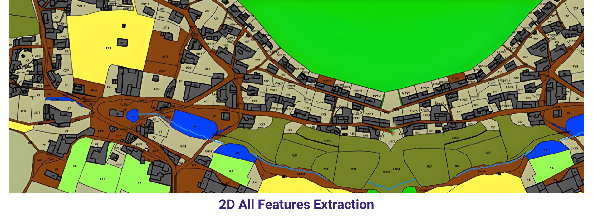
We provide comprehensive spatial engineering solutions with experienced GIS engineers. We are specialized in understanding our client’s requirements for providing better solutions on time. GST has been providing the services for land use planning, airport service area analysis, site selection, and airspace obstruction analysis.
Geological maps
AAM GST Personnel have expertise in high quality geological map production and addition of attribute data from hard copy of topographic maps. We have capability in GIS, spatial data analysis and cartography for geology, land use, land cover, urban, forestry for various scales.
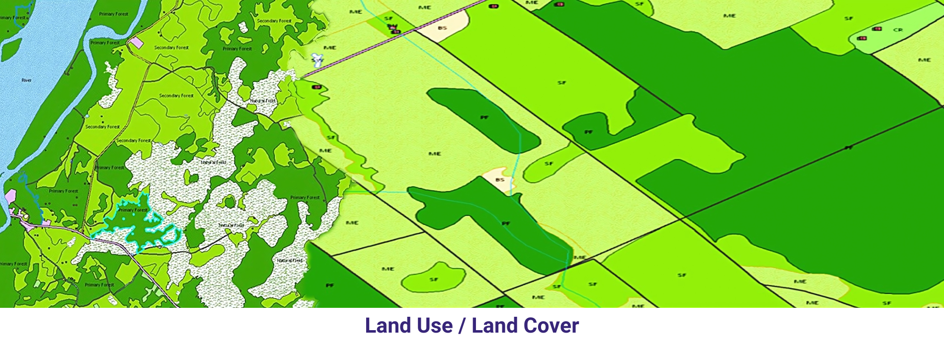
Urban Land use lands cover maps
AAMGST has proficiency in producing digital land use and land cover maps with their attributes from different sensors (aerial and Satellite data ) and Utility mapping for electrical, water, telecommunications. We follow the respective mapping USGS standards for geological maps.
Geographic Information Systems (GIS) services and remote sensing technologies have revolutionized the way we analyze and interpret spatial data. GIS services allow us to store, manipulate, and analyze geospatial data, providing us with valuable insights and facilitating decision-making processes. Remote sensing, on the other hand, involves the collection of data from a distance, often using satellites or aerial drones, to gather information about the Earth’s surface. When combined, GIS services and remote sensing technologies offer a powerful tool for a wide range of applications, from urban planning and environmental management to disaster response and natural resource monitoring.
One of the key advantages of using GIS services and remote sensing technologies is their ability to provide accurate and up-to-date information about Earth’s surface. By collecting data from various sources and integrating them into a GIS platform, researchers and professionals can create detailed maps and visualizations that help them better understand and analyze different phenomena. For example, urban planners can use GIS services to identify areas at risk of flooding, while environmental scientists can monitor land use changes over time using remote sensing data. This information is crucial for making informed decisions and implementing effective strategies to address various challenges.
Furthermore, GIS services and remote sensing technologies have the potential to revolutionize the way we approach environmental sustainability and resource management. By using satellite imagery and aerial drones, researchers can monitor deforestation, track wildlife populations, and assess the impact of human activities on the environment. This information is invaluable for policymakers and conservationists, as it allows them to develop evidence-based strategies to protect our natural resources and biodiversity. In this sense, GIS services and remote sensing technologies play a crucial role in promoting sustainable development and ensuring the well-being of future generations.
In conclusion, GIS services and remote sensing technologies have become indispensable tools for a wide range of applications, from urban planning and environmental management to disaster response and natural resource monitoring. By harnessing the power of geospatial data and remote sensing technologies, researchers and professionals can gain valuable insights into Earth’s surface and make informed decisions to address various challenges. As technology continues to advance, the potential for GIS services and remote sensing to improve our understanding of the world around us and drive positive change is limitless.