The mapping of natural resources, such as minerals, oil, and gas, relies on geospatial technology. The location of resources, to monitor the extraction of resources, and to plan for the sustainable use of resources.
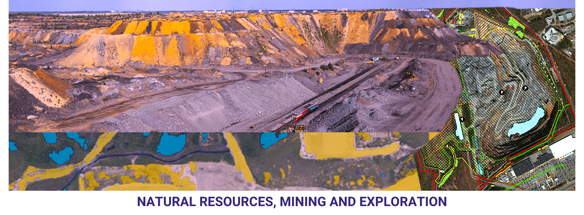
The management of mining operations. Location of mines, to monitor the extraction of minerals, and to plan for the closure and rehabilitation of mines.
The conduct of geological surveys, which are used to identify the location and extent of mineral resources, the geological formations, to analyse the geological data, and to plan for exploration activities.
The assessment of the environmental impacts of natural resource extraction. The location of natural resources, to monitor the impacts of extraction activities on the environment, and to plan for the mitigation of environmental impacts.
The conservation of biodiversity, which is the variety of life on Earth. Biodiversity hotspots, to monitor the impacts of human activities on biodiversity, and to plan for the conservation of biodiversity.
The management of water resources, including the distribution of water for irrigation and domestic use. Water resources, to monitor the quality and quantity of water, and to plan for the sustainable use of water resources.
The development of renewable energy sources, such as wind and solar power. GIS can be used to map the location of renewable energy resources, to monitor the impacts of renewable energy development on the environment, and to plan for the sustainable development of renewable energy sources.