Digital Terrain Model (DTM), Digital Elevation Model (DEM), and Digital Surface Model (DSM) are important tools used in Geographic Information Systems (GIS) for analyzing and visualizing topographical data. Each of these models serves a specific purpose in depicting the Earth’s surface in digital form, allowing for a wide range of applications in fields such as geology, environmental science, urban planning, and agriculture.
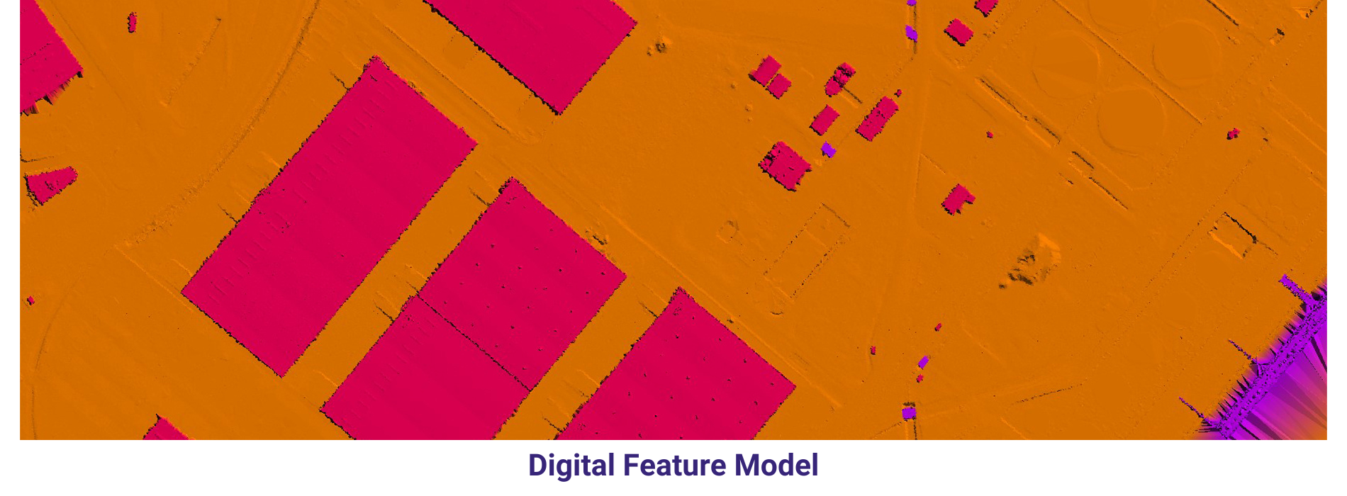
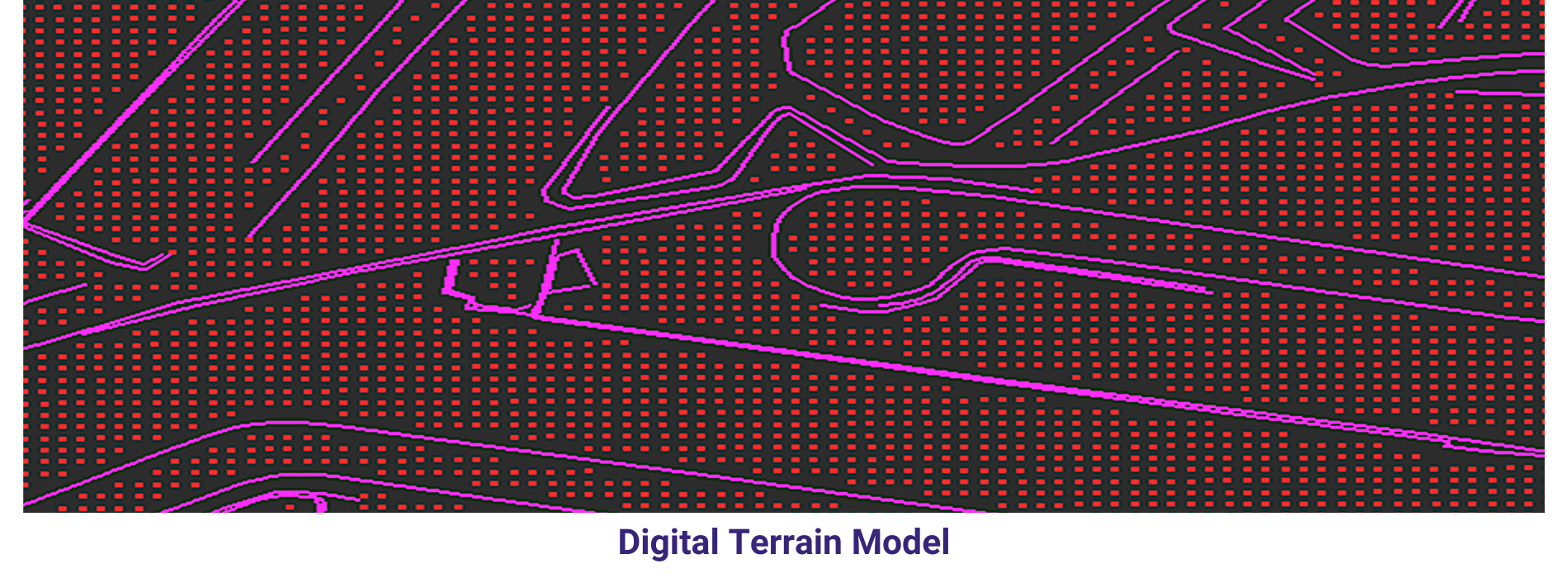
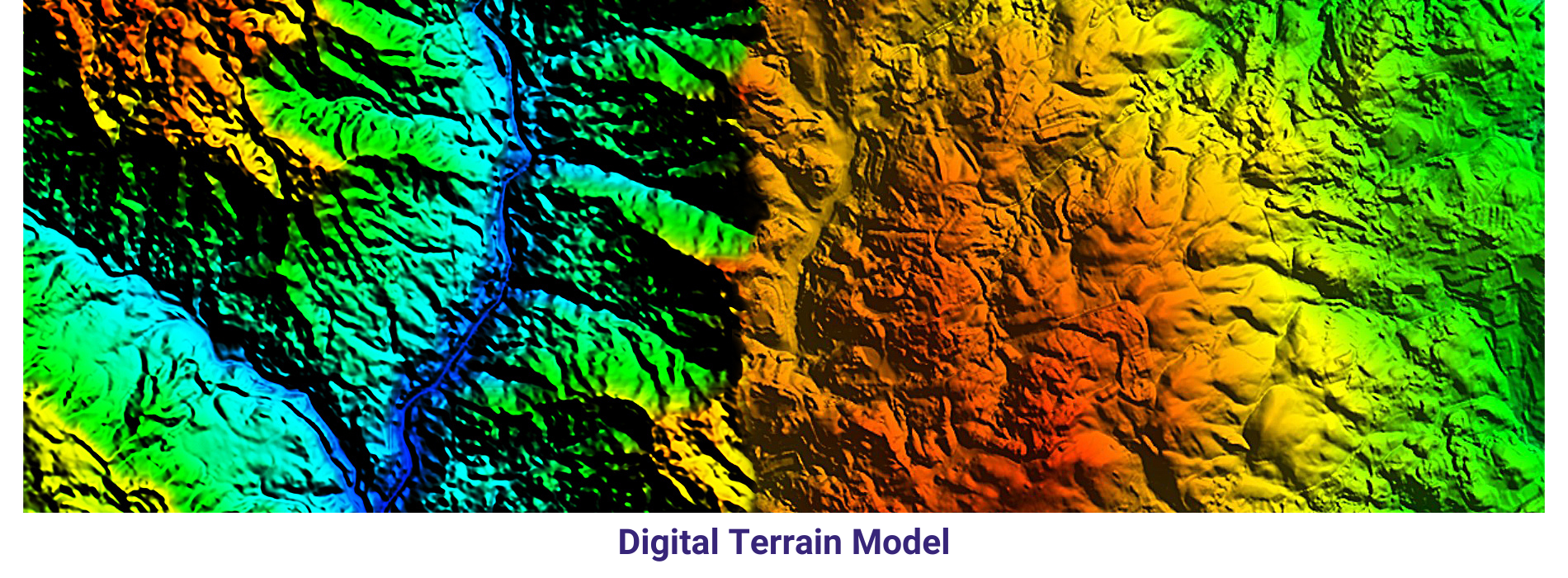
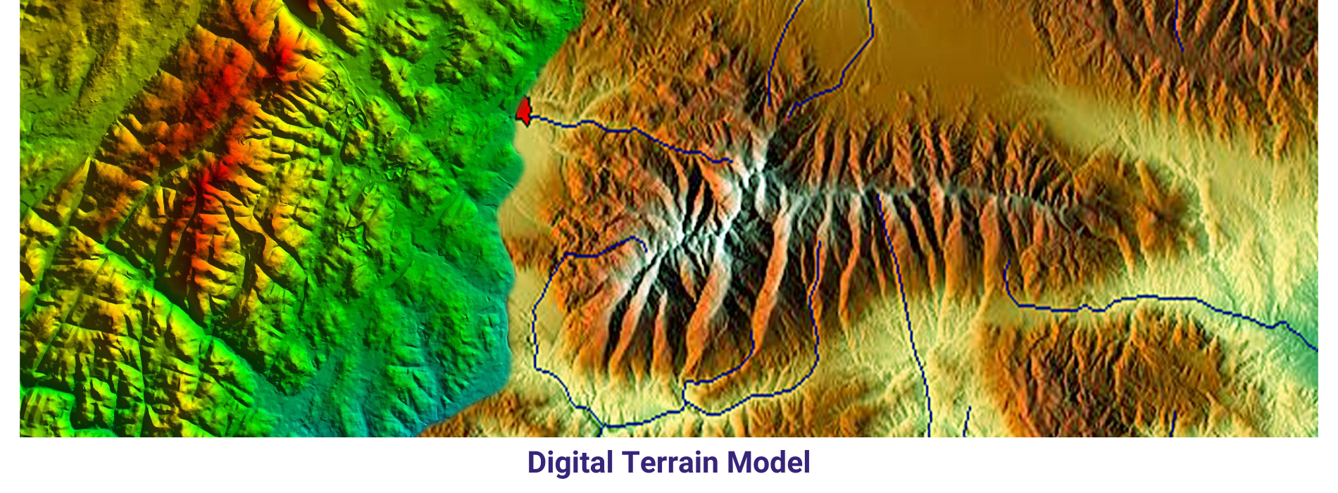
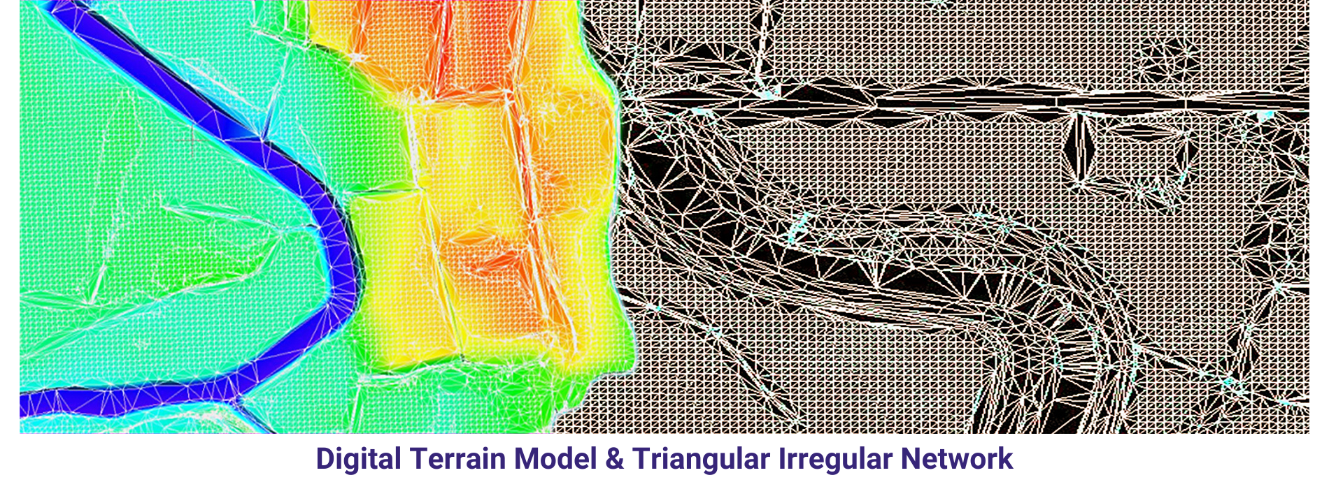
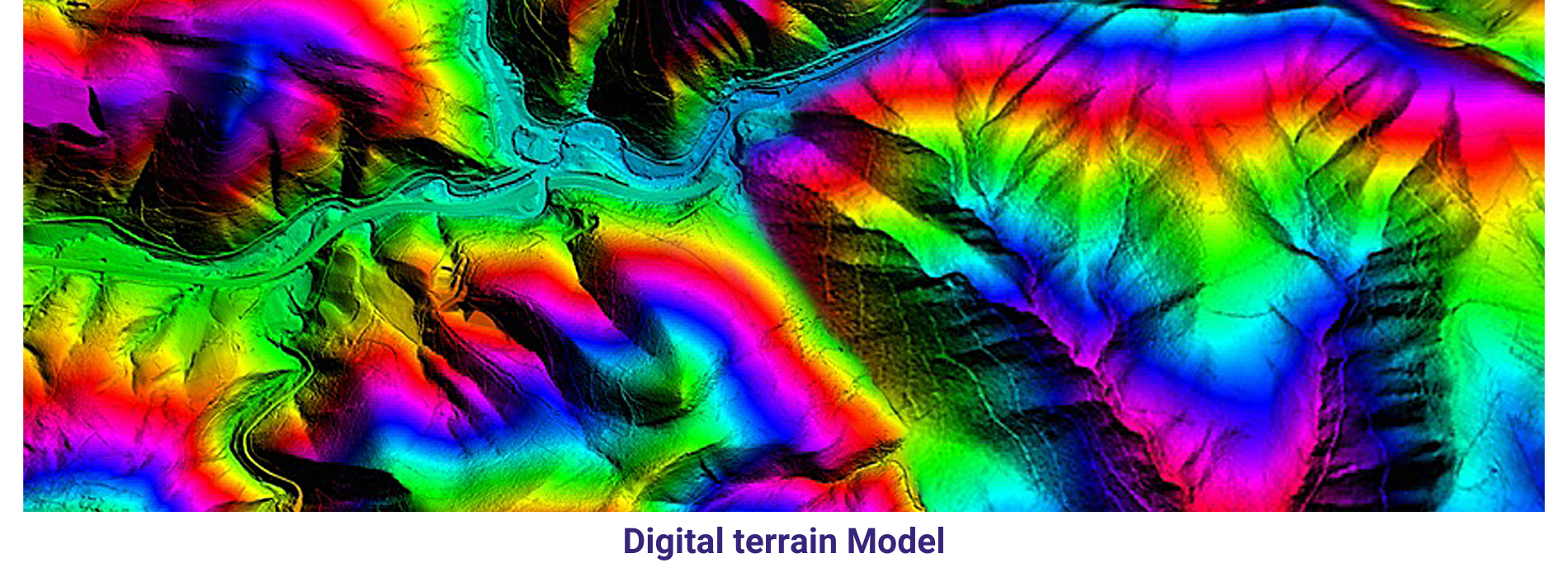
DTM is a representation of the bare Earth’s surface, devoid of any surface features such as vegetation or buildings. It provides precise elevation data that is crucial for understanding terrain characteristics like slope, aspect, and relief. DTM is often used in hydrological modeling, landform analysis, and construction planning, where accurate elevation information is essential.
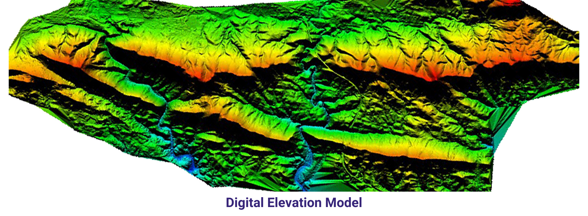
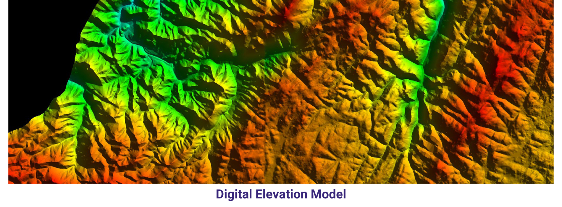
DEM, on the other hand, includes both the bare Earth’s surface and any natural or man-made features present on it. This model provides a more comprehensive view of the landscape, making it useful for applications that require information on surface structures like vegetation cover, buildings, and roads. DEM can be used in land cover classification, view shed analysis, and 3D visualization of urban areas.
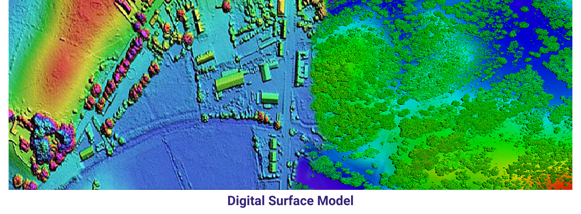
DSM represents the Earth’s surface as it appears to an observer from above, including all surface features like vegetation, buildings, and other structures. DSM is valuable for applications that require detailed information on surface objects, such as urban planning, forestry management, and telecommunications network planning. By incorporating both natural and man-made features, DSM enables users to analyze and simulate real-world scenarios with a high level of accuracy.
In conclusion, DTM, DEM, and DSM are essential components of GIS that provide valuable insights into the Earth’s surface in varying levels of detail. Whether studying terrain characteristics, analyzing land cover, or planning infrastructure projects, these models offer a wealth of information that can be leveraged for a wide range of applications in different fields. As technology continues to advance, the use of these models will only become more prevalent in the realm of spatial analysis and decision-making.