-
- HOME
- ABOUT US
- SOLUTION
- PROJECTS
- INDUSTRIES
- CLIENT NETWORK
- CAREER
- CONTACT WooCommerce not Found
- Newsletter


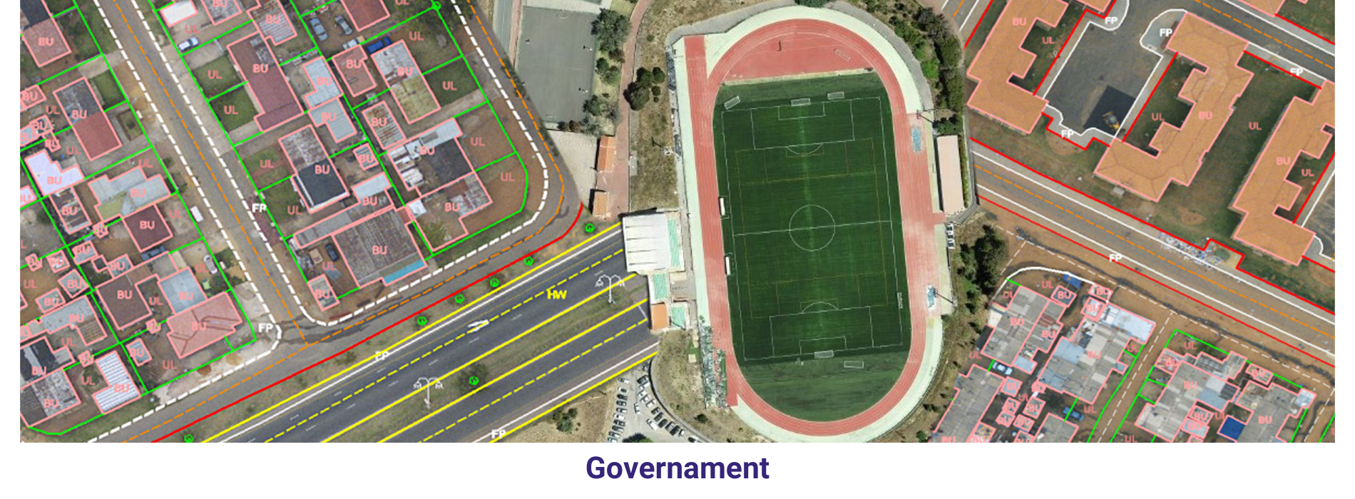
Urban Planning: The planning of cities and towns requires accurate geospatial data. GIS can be used to map the city or town, to identify areas suitable for different types of development, and to plan the layout of roads, buildings, and public spaces.
The management of emergency situations, such as natural disasters and terrorist attacks, The management of public health, The management of infrastructure, such as roads, bridges, and water systems, The management of the environment, including air and water quality, The administration of land, including the registration of land titles and the management of land use, The administration of elections relies on accurate geospatial data. GIS can be used to map.