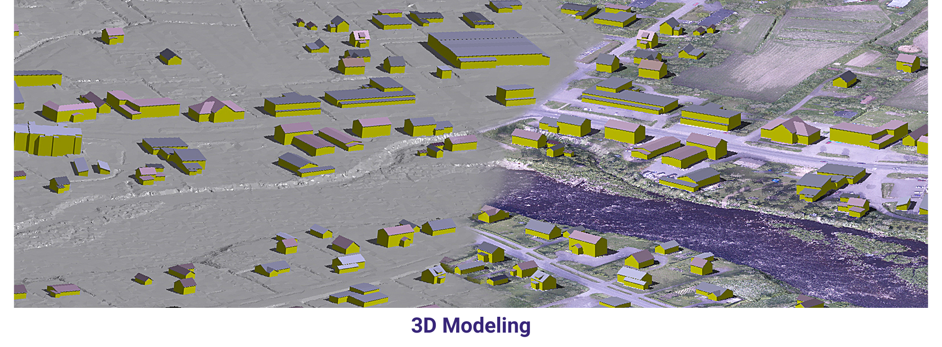
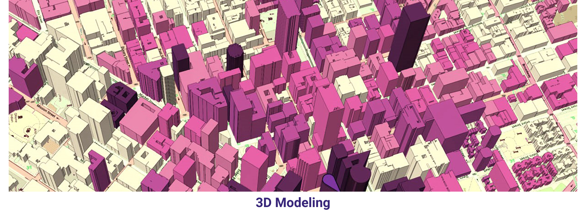
3D building modeling in the geospatial industry involves creating digital representations of buildings and structures that are accurate to their real-world counterparts. These models are typically created using a combination of aerial and ground-based data, including LiDAR scans, photogrammetry, and traditional surveying techniques.
In summary, 3D building modeling in the geospatial industry involves creating digital representations of buildings and structures that are accurate to their real-world counterparts. These models are used in a variety of applications, from urban planning and emergency response to architectural visualization and real estate. The process of creating a 3D building model typically involves data collection, data processing, model creation, and model validation, and requires the use of specialized software and techniques.
3D building modeling plays a crucial role in creating accurate and detailed representations of urban environments.
Overall, 3D building modeling in the geospatial industry enhances our understanding of urban environments, supports informed decision-making, and facilitates various applications ranging from urban planning and development to emergency management and beyond.