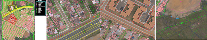
Provided Orthophotos were downloaded and 2D sample cartographic map has been prepared with visible features on the Orthophoto. We have selected a sample pilot area from 4 Orthophoto (refer the sample DGN file and Screen capture). Different features have been restituted and the final file is in DGN format.
Different types of roads like Highways, primary roads and local roads has been captured by following cartographic rules like paralallity and center lines for major roads also represented. Footpaths have been represent with different symbology. Paint lines of directions have been represented.
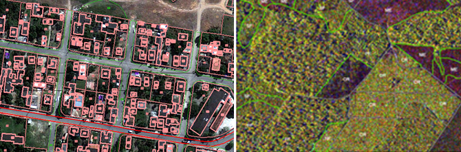
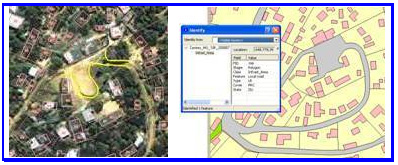
Buildings and Urban lots have been represented using different layers and also followed the cartographic rules like orthogonolity and clockwise direction while in digitization of each and every feature. Generic construction areas also been represented in this sample map. Buildings and urban lots
Vegetation areas have been represented by delineating them in to different categories like grassland, irrigation crop, Dry crop and thicket. We also represented some utilities like street lights. Isolated tree also have been represented by using relevant symbols.
Project description :
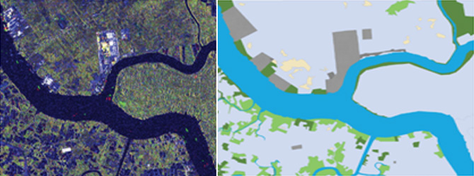
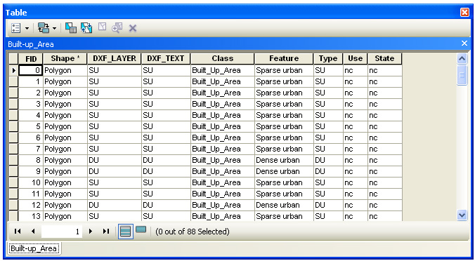
The primary objective of this project is to monitor the change in spatial distribution of land use and land cover with the help of satellite imagery in for four different regions. This was achieved by preparing the digital land use and land cover maps with their attributes. Satellite data from different sensors (Optical and MTC) were used. It also includes the updating of these four zones by incorporating the changes periodically. The project area is quite big it consists of urban, rural, towns and villages. In this area, we have captured the outline of the built-up area and few other classes like buildings, roads, tracks, rivers, lakes, Bare-Earth, agriculture, pasture and vegetation. The final output is ESRI’s shape file with attributes. Mapping has been done in different scales (1:10000, 1:30000, 1:50000).
| Project area Details | ||
| ROI_1 | : | 3820 sq km |
| ROI_2 | : | 4165 sq km |
| ROI_3 | : | 1531 sq km |
| ROI_4 | : | 2536 sq km. |
Inputs Received :
Satellite images from different sensors (optical and MTC)

- We have followed the below mentioned work flow to generate the Digital thematic map with attributes.
- Received satellite images were georefence and orthorectifed with reference ground control points (or with respect to master map) and GDEM.
- We have prepared a feature code table (menu in cad software) with the required features as per the specifications.
- Orthorectified images were opened in CAD software.
- All the required featured were digitized with the help of pre defined menu.
- Finally features were coded for attributes purpose.
- After completion of digitization the data was cleaned to build the topology.
- Finally required attributes were attached using the existing codes in the data.
Deliverables :
Ortho-rectified image
Digital maps in ERSI’s Shapes with non spatial (attributes) data attached.
Example 1 : Map generated from Optical Images
Example 2 : Sample Digital land use map generated from MTC images.