Our Solutions
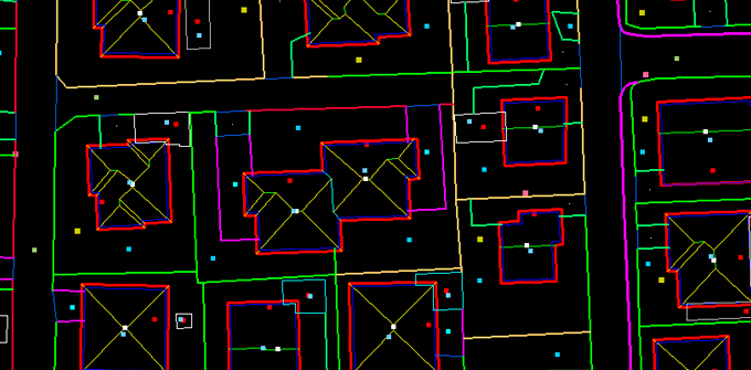
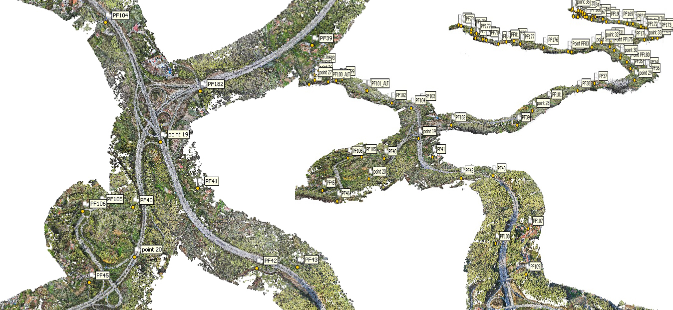
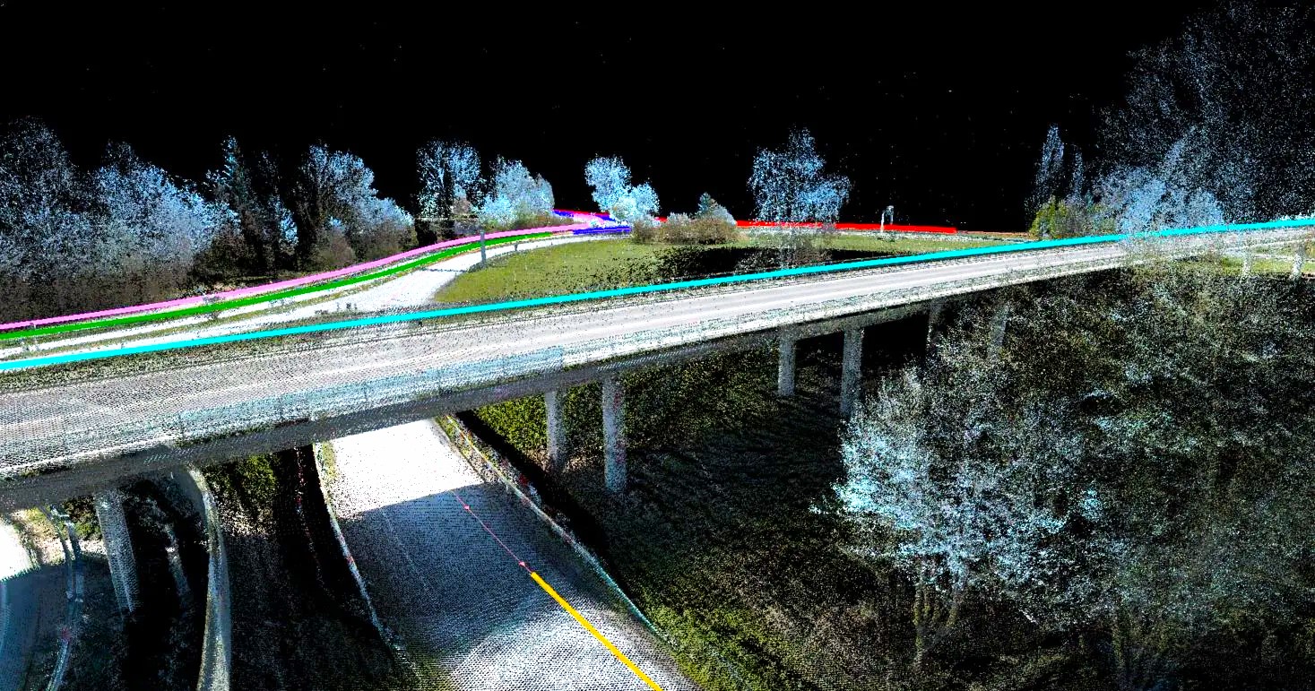
3-D Cartography
AAMGST offers high-quality 3D cartography solutions, using advanced photogrammetry and geospatial techniques for precise mapping across diverse regions and scales.
Learn More →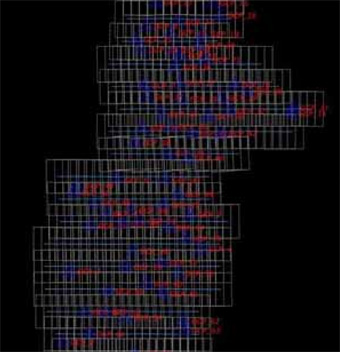
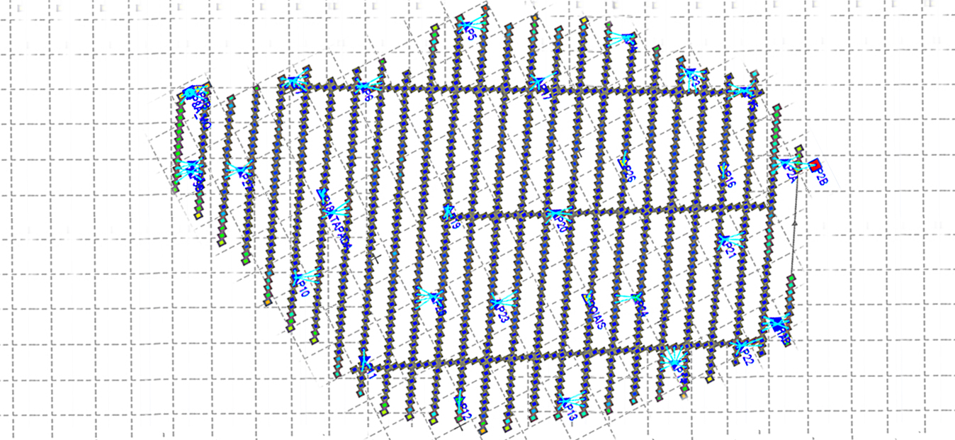
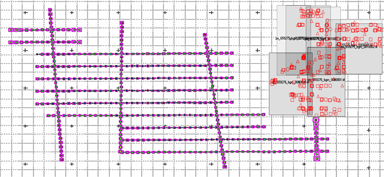
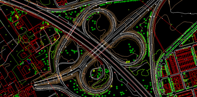
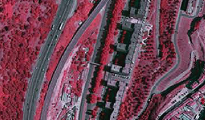
Aerial Triangulation
AAMGST specializes in aerial triangulation for satellite and aerial imagery, delivering accurate geospatial data for mapping and analysis.
Learn More →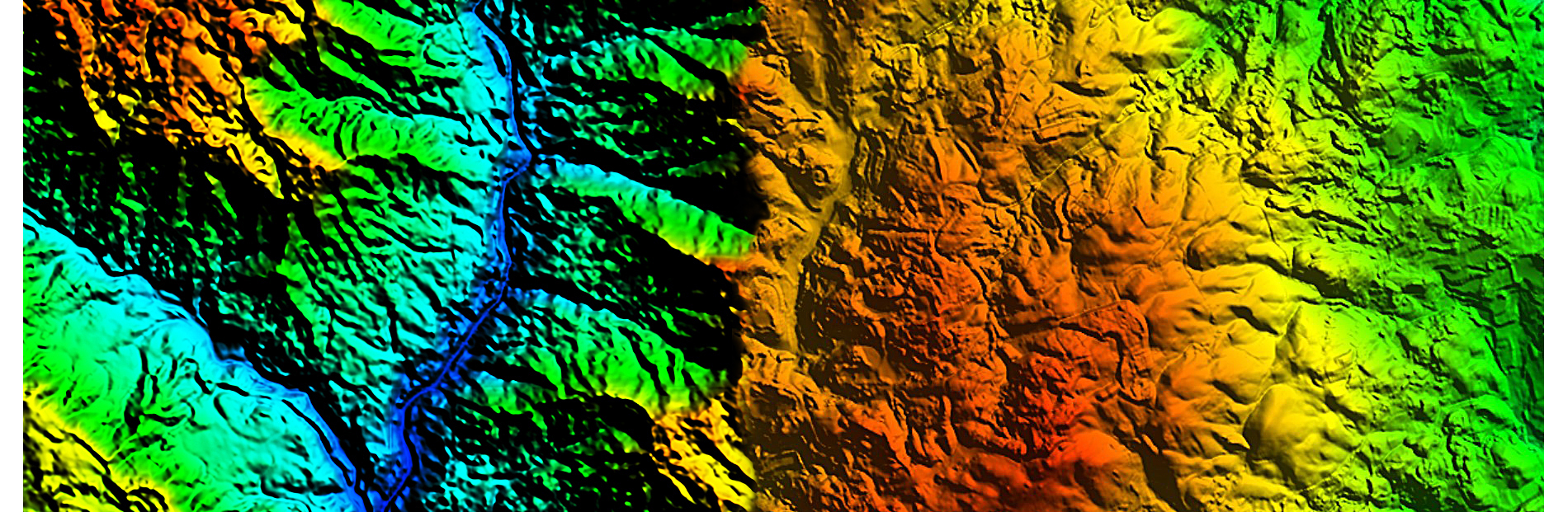
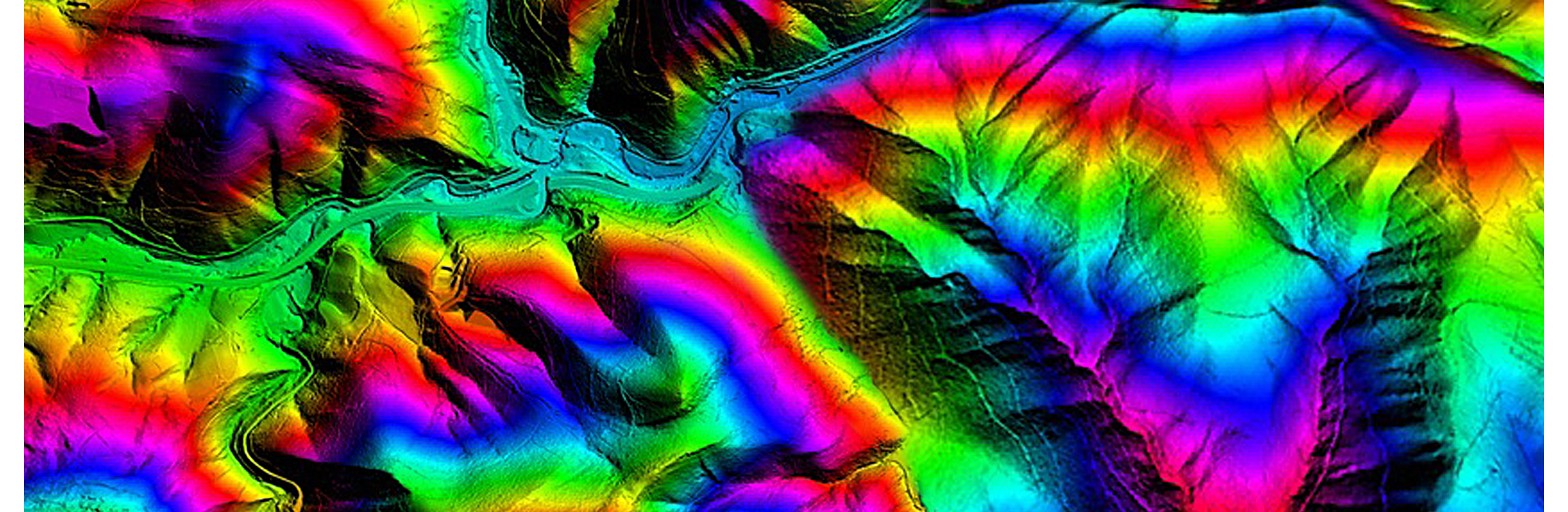
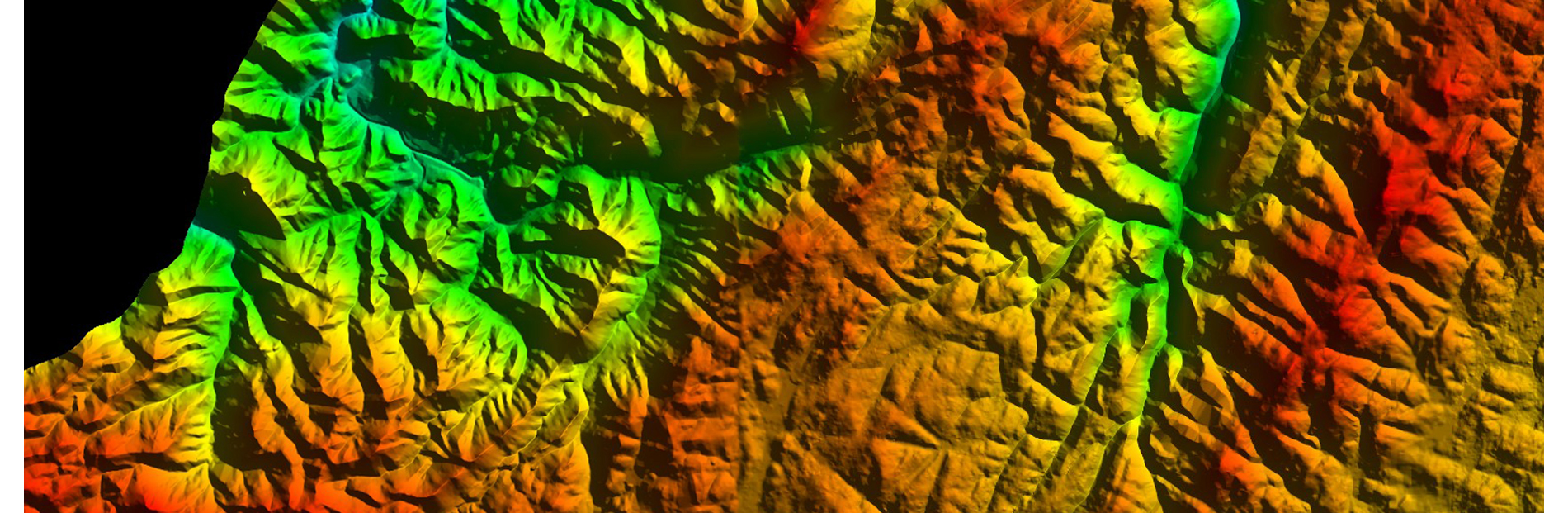
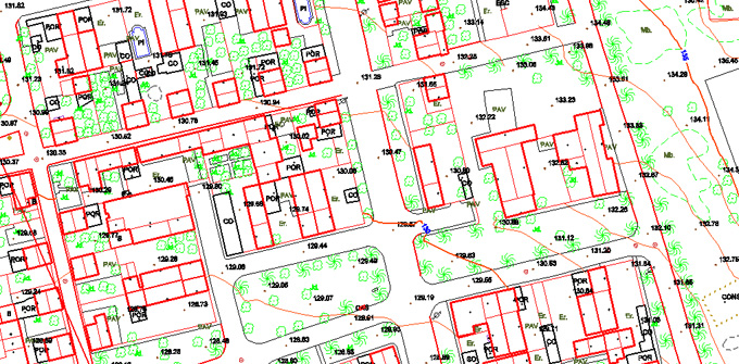
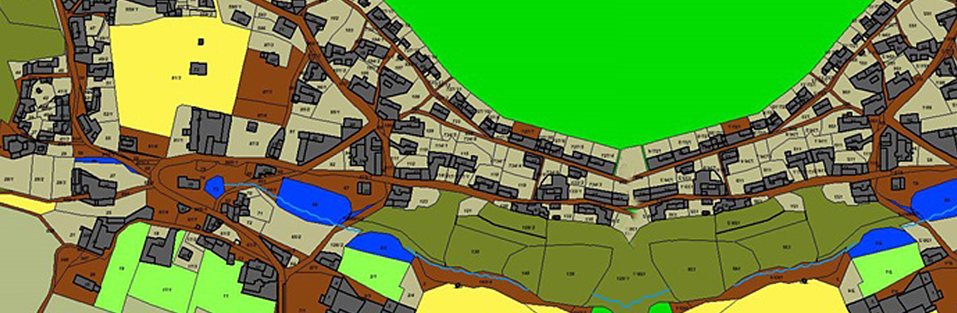
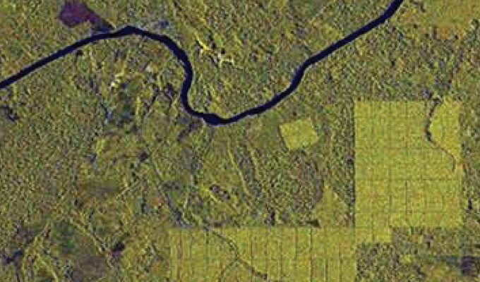
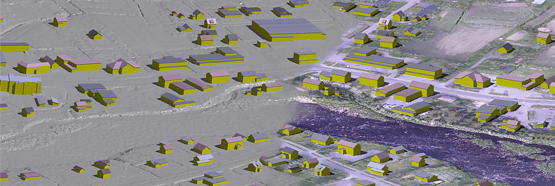
DTM, DEM and DSM
AAMGST provides high-resolution DTM, DEM, and DSM models for precise terrain analysis, supporting applications in planning, construction, and environmental monitoring.
Learn More →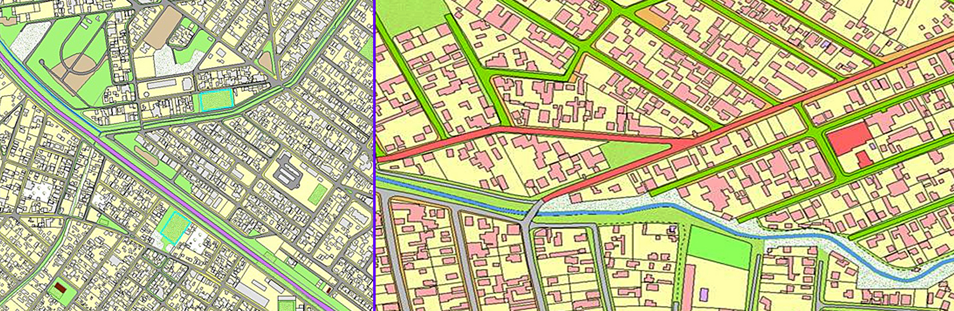
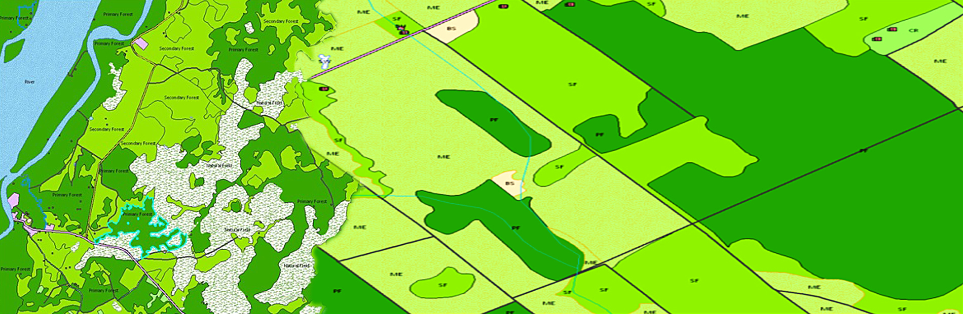
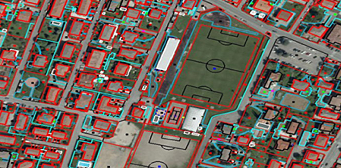
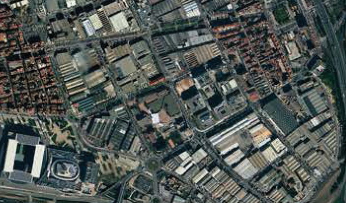
GIS Services/Remote Sensing
AAMGST delivers comprehensive GIS and remote sensing solutions, offering large-scale geospatial data and analysis for diverse industries and applications.
Learn More →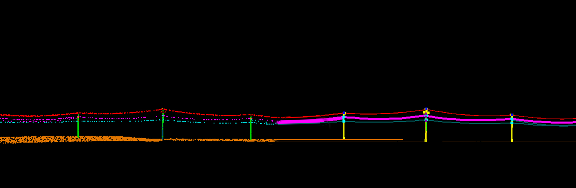
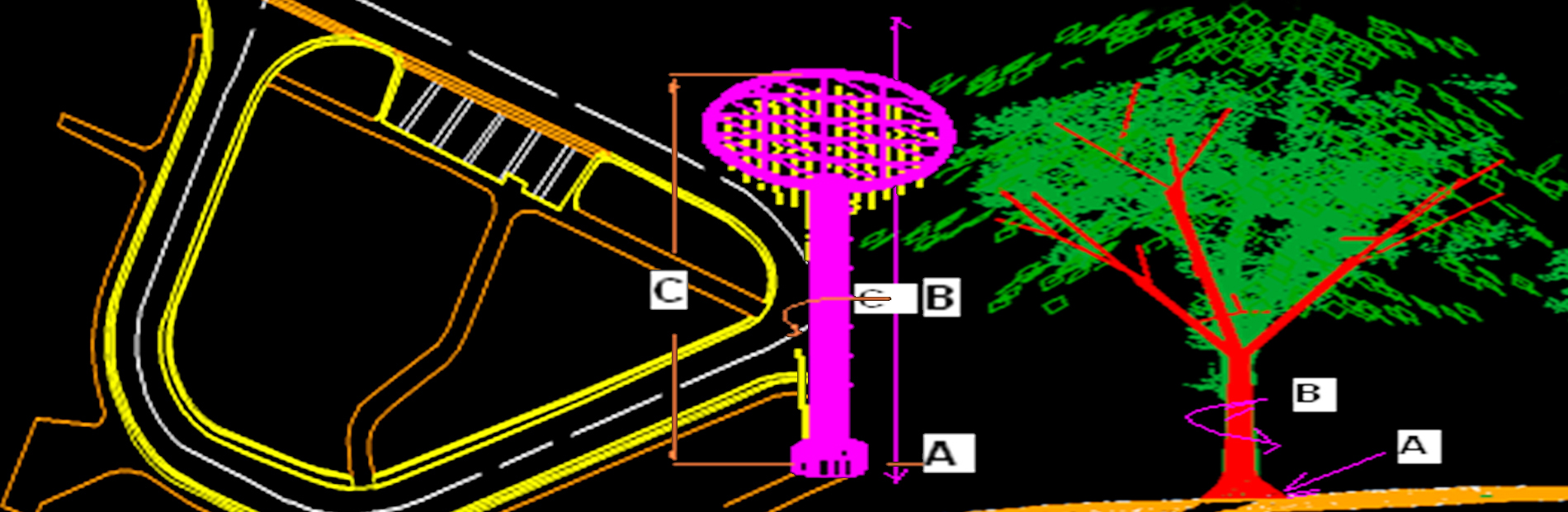
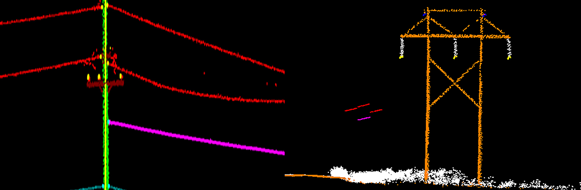
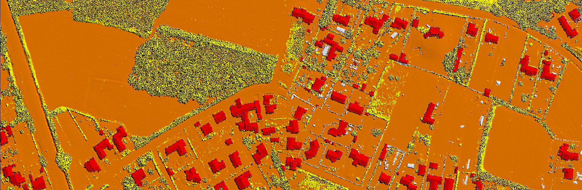
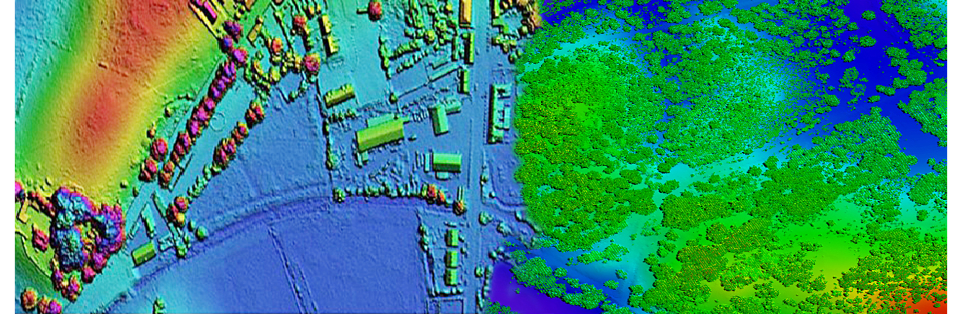
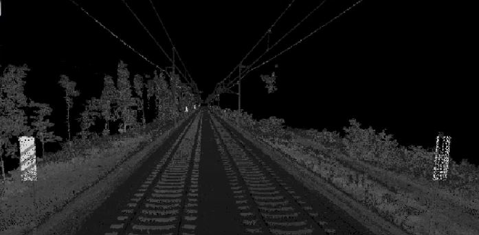
LiDAR Classification
AAMGST offers expert LiDAR classification and vectorization for airborne, terrestrial, and mobile LiDAR data, ensuring accurate, high-quality results for various applications.
Learn More →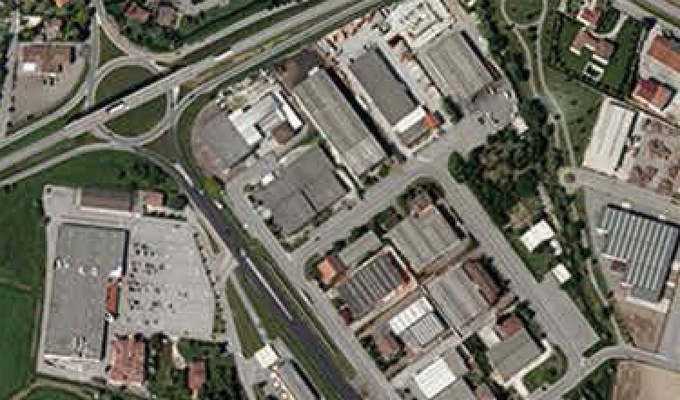
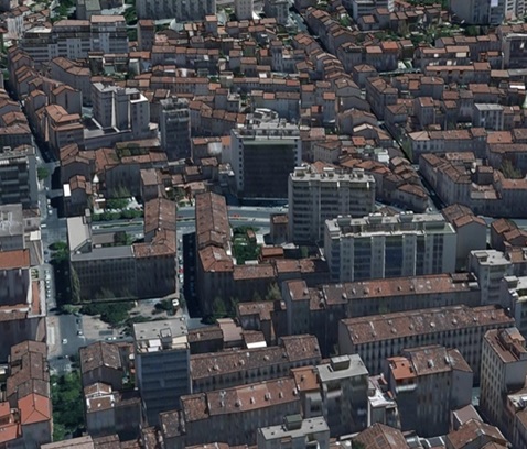
Orthophoto and Mosaicing
AAMGST specializes in orthophoto generation and mosaicing from aerial and satellite imagery, ensuring high accuracy and industry-standard compliance.
Learn More →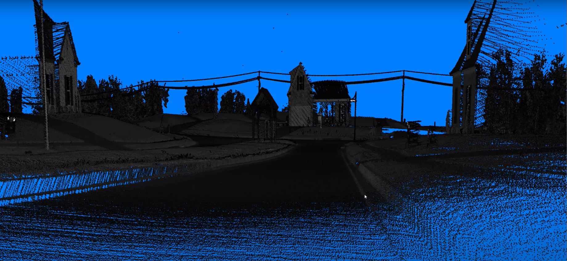
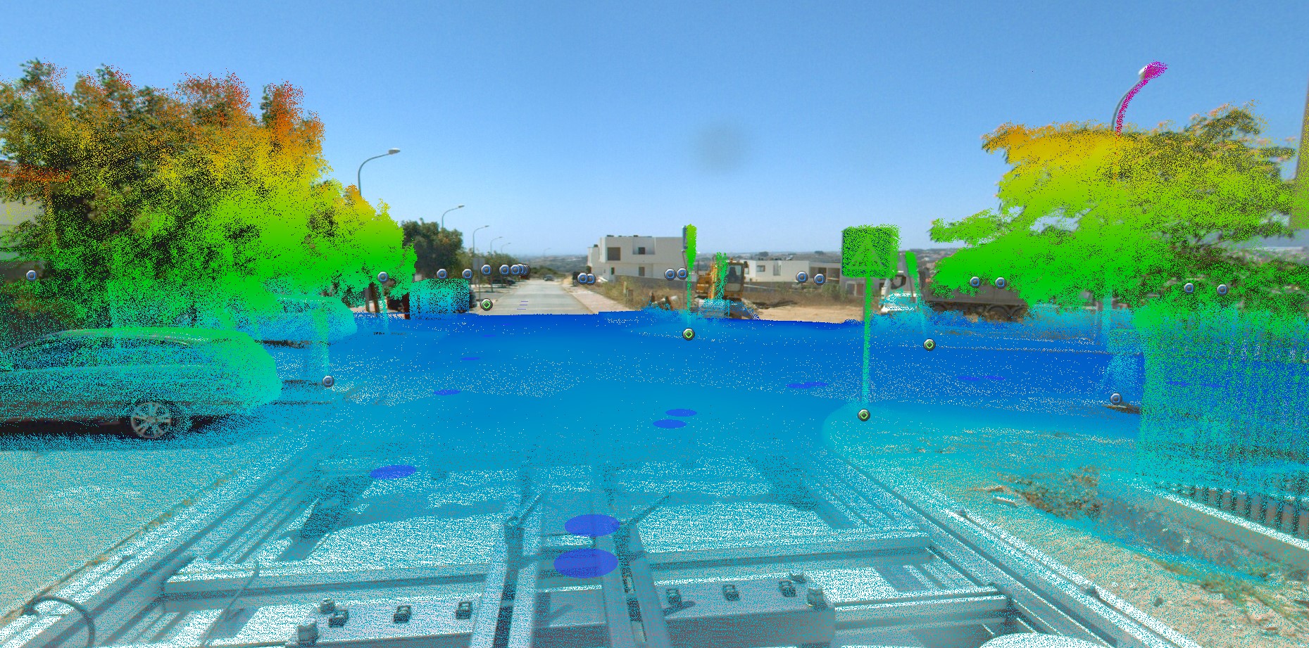
Mobile Mapping
AAMGST offers cutting-edge mobile mapping solutions, using vehicle, rail, boat, drone, and backpack-mounted systems for versatile and precise geospatial data collection.
Learn More →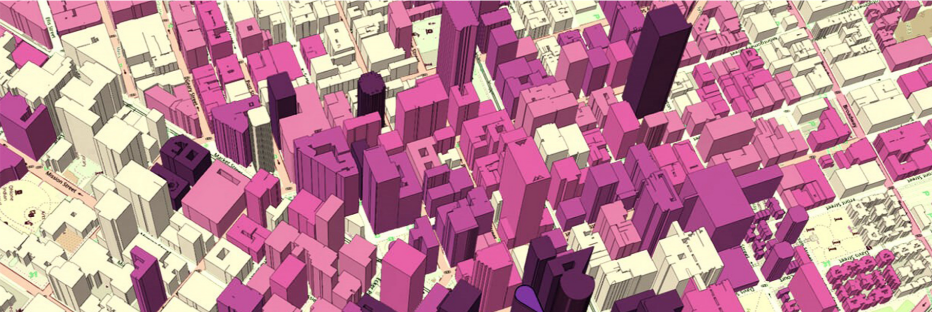
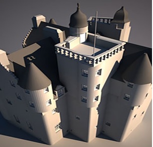
3D Modelling
AAMGST offers state-of-the-art 3D modeling solutions, leveraging advanced techniques to create accurate and detailed digital representations of physical objects, terrains, and environments for diverse applications.
Learn More →