AAM
Geo Spatial Tech
Revolutionizing Geospatial Intelligence
Pioneering the future of geospatial solutions with cutting-edge technology and expert analysis for construction, mining, and urban development projects worldwide.
AAMGST believes in being successful only by ranking our esteemed clients successful. Also we believe in long term relation, therefore we associate with our clients as technical partner instead of a service provider/vendor. Hence AAMGST is highly Client centric Organization, in terms of quality, flexible in dealing with Large and Small Projects, and committed for timely delivery, our prices are relatively competitive and we are very much flexible to fit into our client's budget price.
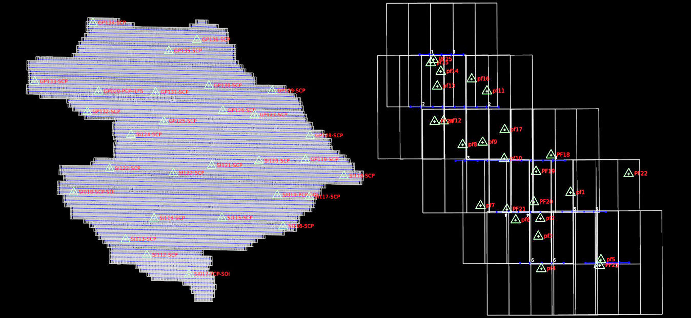
Aerial Triangulation
Cutting-edge aerial survey technology for highly accurate mapping results
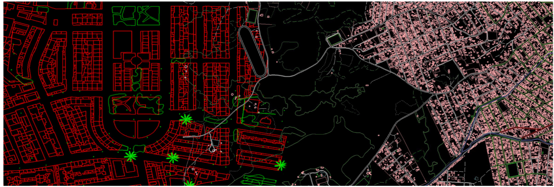
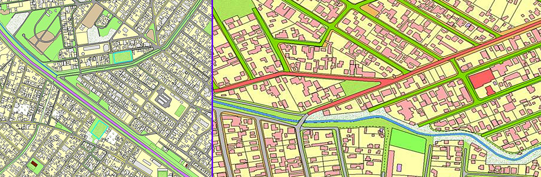
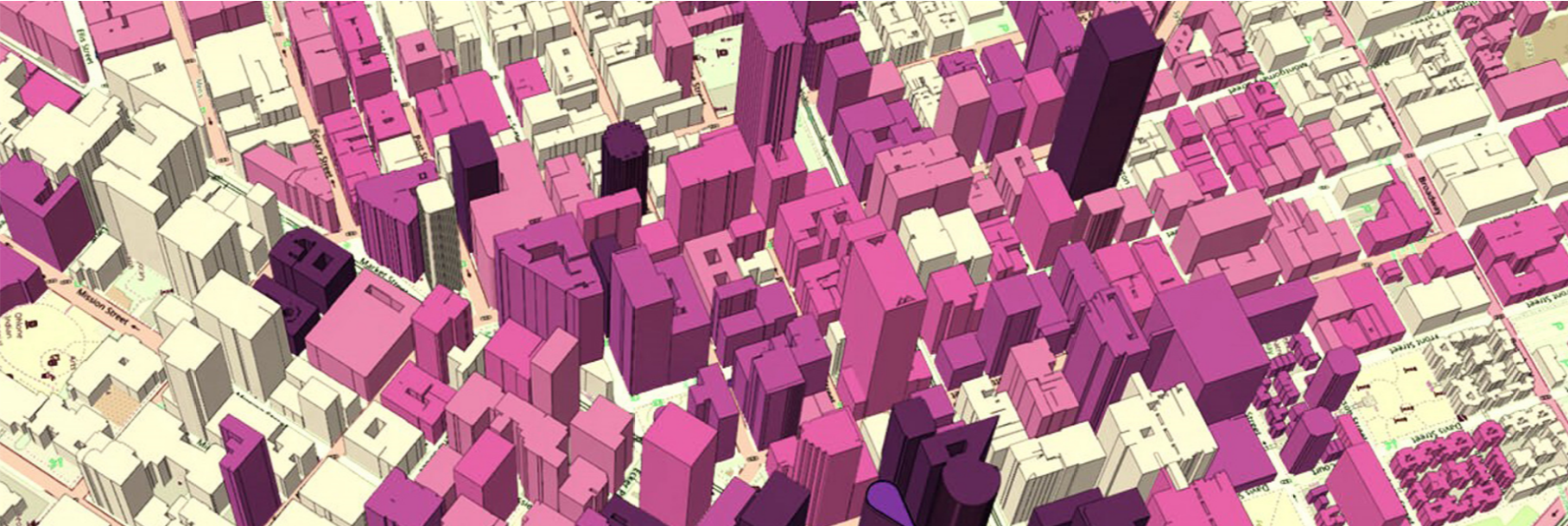
3D Cartography
Real-time 3D terrain modeling for precise and dynamic cartographic analysis
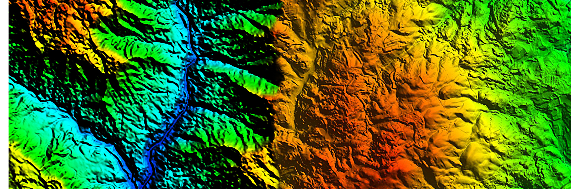
DTM, DEM and DSM
Efficient spatial data analysis for detailed terrain models and surfaces
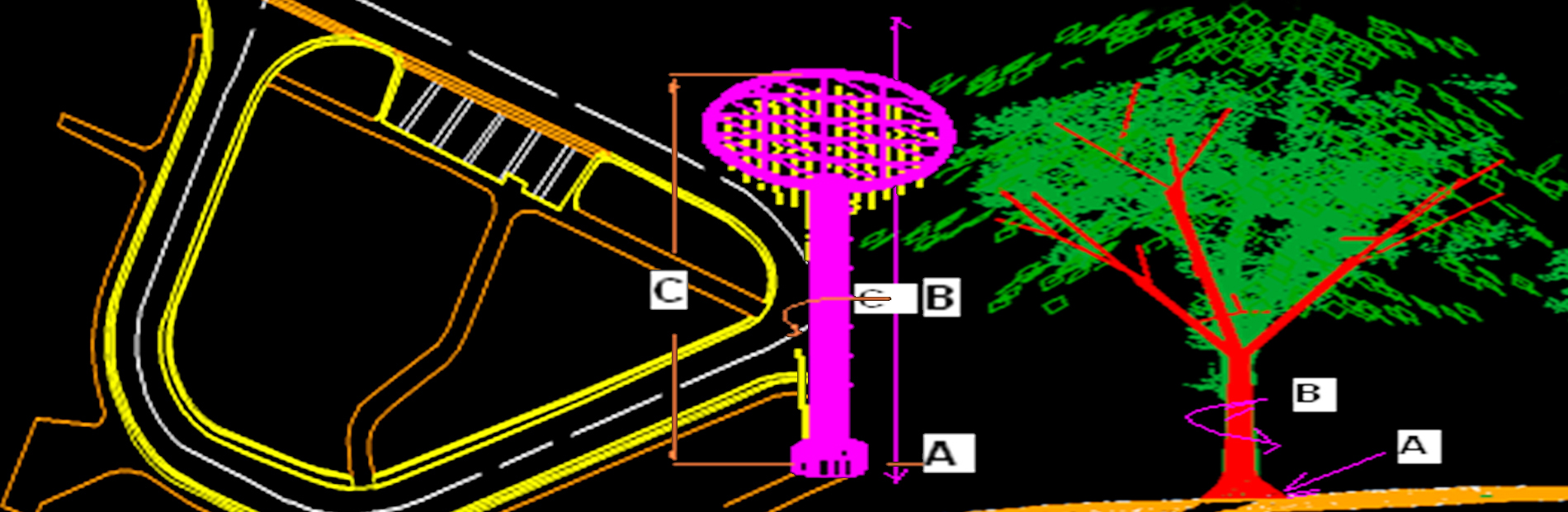
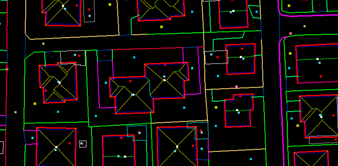
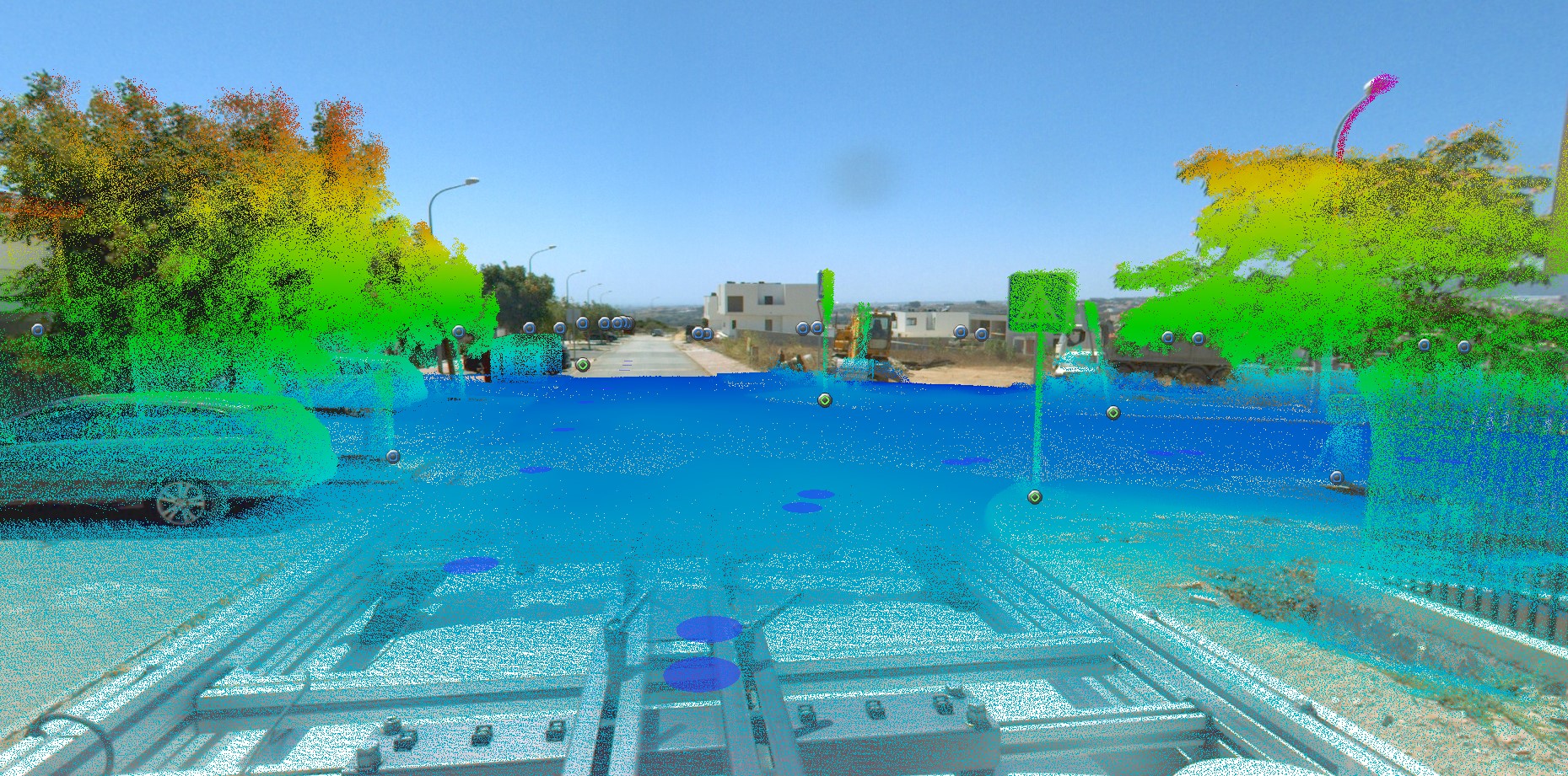
LiDAR Classification
Advanced LiDAR point cloud classification for accurate 3D modeling
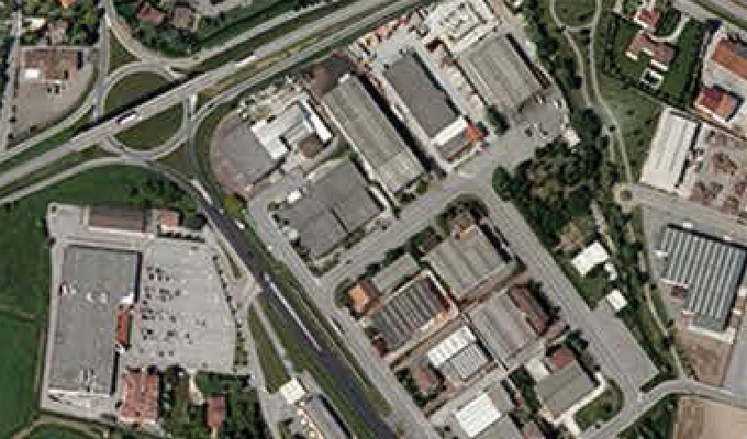
Orthophoto and Mosaicing
High-resolution orthophoto processing for seamless aerial imagery mosaics
3D Modelling
Advanced 3D modeling techniques for precise and realistic digital representations of structures and terrains.