Triangulation of Aerial and Satellite
Large and Small Scale Mapping
This project includes three scales for same area and involves triangulation detailed mapping and orthophoto generation. Firstly triangulation of three sets of imagery and then DTM compilation for 1:5000 scale mapping and Detailed mapping from 1:2000 scales.
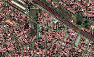
Large Scale Urban Mapping
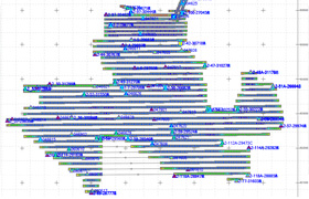
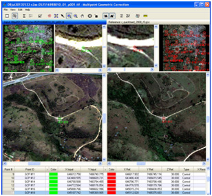
Triangulation of all images have been completed in single block using GPS/IMU and Ground control points. The quality of AT has been verified by the residuals of ground controls and tie points.
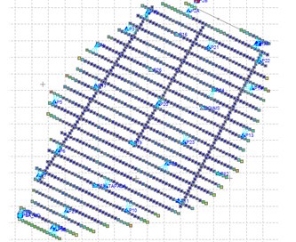
Triangulation for World View Stereo Pairs
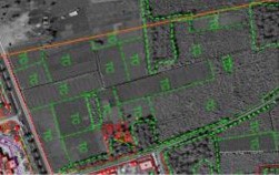
The purpose of the project is to restitute the obstacles around the airport area. This has been ahieved by restituting the building block, towers, mosque and other constructions. Restitution of building blocks with elevation (height) points and Delimitation of roads, streets, wooded area, Agriculture, pasture, bare soil and Rivers, lakes in urban and rural areas.
AT for World View Stereo pair
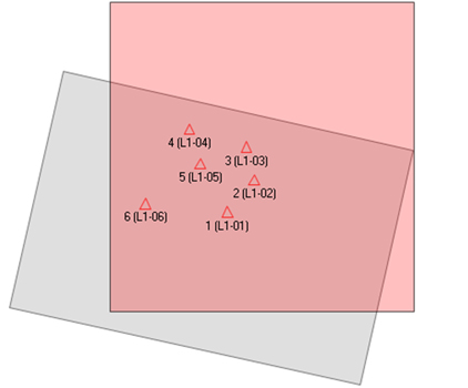
Satellite Image pairs have been oriented by using client provided ground control points and achieved an accuracy of 0.3m. The projection used was UTM WGS84 (32S)
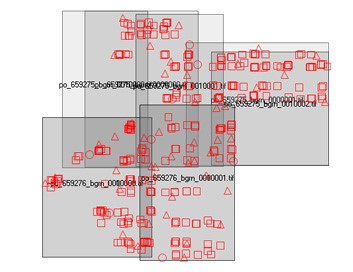
Triangulation of IKONOS Imageries
The Satellite stereo pairs have been trimagulated by using the client provided ground control points.Cartographical elements have been mapped as per the specification at 1:5000 scale.
Triangulation of Imageries from different Sensors
Satellite Imagery from different sensors have been georeferenced by using client provided ground control points. Then it was orthorectified using the Provided DEM.
Triangulation of RapidEye Imageries
Individual NTF images with rpc information(GCS-Lat/Long). Six GCPS information with their coordinates. 5 band multispectral images have been created by merging the 5 individual NTF images from RapidEye by using layer stack option in Erdas software.