3D - Cartography
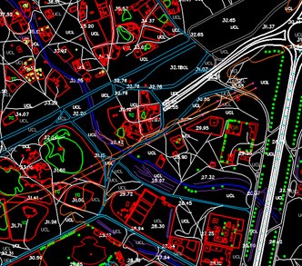
Large Scale - Corridor Map
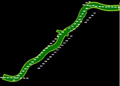
The main objective of this corridor project is for estimating work in transportation. We have compiled cartographic features like contours at 0.5m interva and each and every detail available in project area
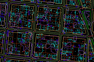
Large Scale - Urban Map
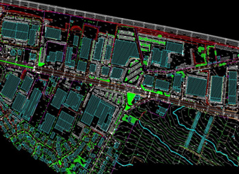
The main purpose of this project is to generate the digital cartographic data for six different sectors. Contours have been compiled at interval of 1m and other cartographic features in project area have been restituted and digital data base has been generated
Large Scale - Coastal Map
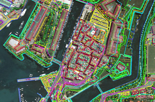
The main purpose of this project is to generate the digital cartographic data for whole project area which includes urban and coastal area.
Small Scale - Urban Map
The main purpose of this project is to generate the digital cartographic data for whole project area which includes urban, rural and coastal area.
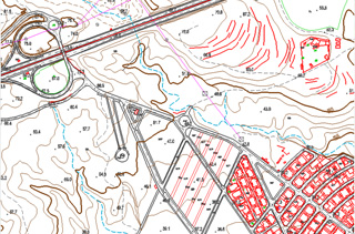
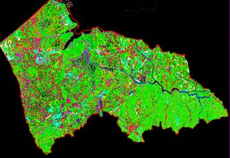
Medium Scale - Rural Map
The main purpose of this project is to generate the digital topographic map from photogrammetrically compiles 3D data for whole project area which includes urban and rural
From Satellite Imagery
The main purpose of Stereo compilation using World View 1 satellite images is obstacle forecast around airport area and Orthophoto generation
Small Scale - Hydrography
Digital cartographic data generation from digital aerial images using stereo compilation method.
Airport Mapping
3D Cartography updating around airport in order to identify the obstacles for the planes approximation and DSM generation by incorporation of building data.